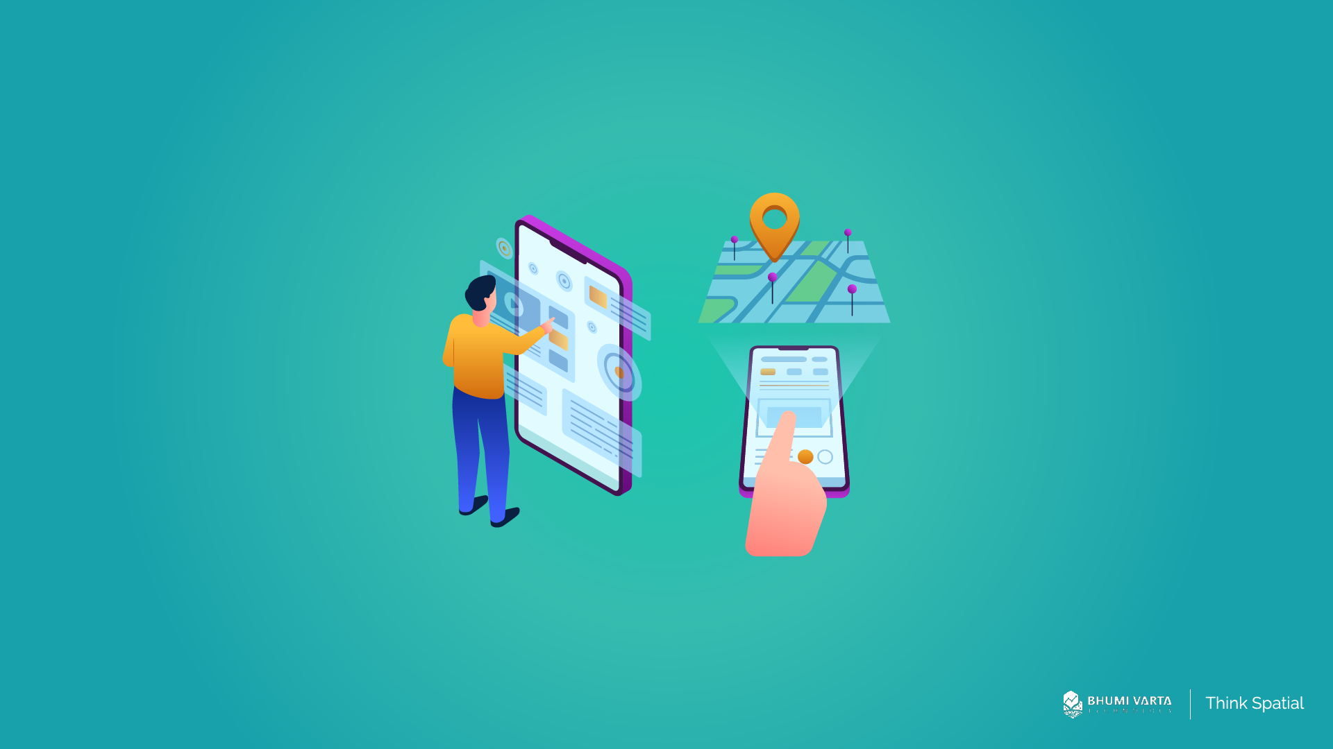
Geospatial data is now being used more and more, and it’s become a key part of how decisions are made, whether in government or in business. For the fast-growing franchise industry, information like potential locations, demographics, population density, and how crowded an area gets is important.
In this article, we’ll break down how geospatial data can really help franchise businesses run better and grow smarter.
Contents
How Geospatial Data Helps Franchises Grow Smarter
The franchise industry in Indonesia has seen major growth, there are now around 60,000 outlets, and it’s been steadily growing by 10–15% since 2019.
With things moving this fast, more and more franchise businesses are looking to expand into new areas and reach more customers.
In the middle of all this expansion, geospatial data has a big role to play. But how exactly does it help franchises grow and run their operations more efficiently?
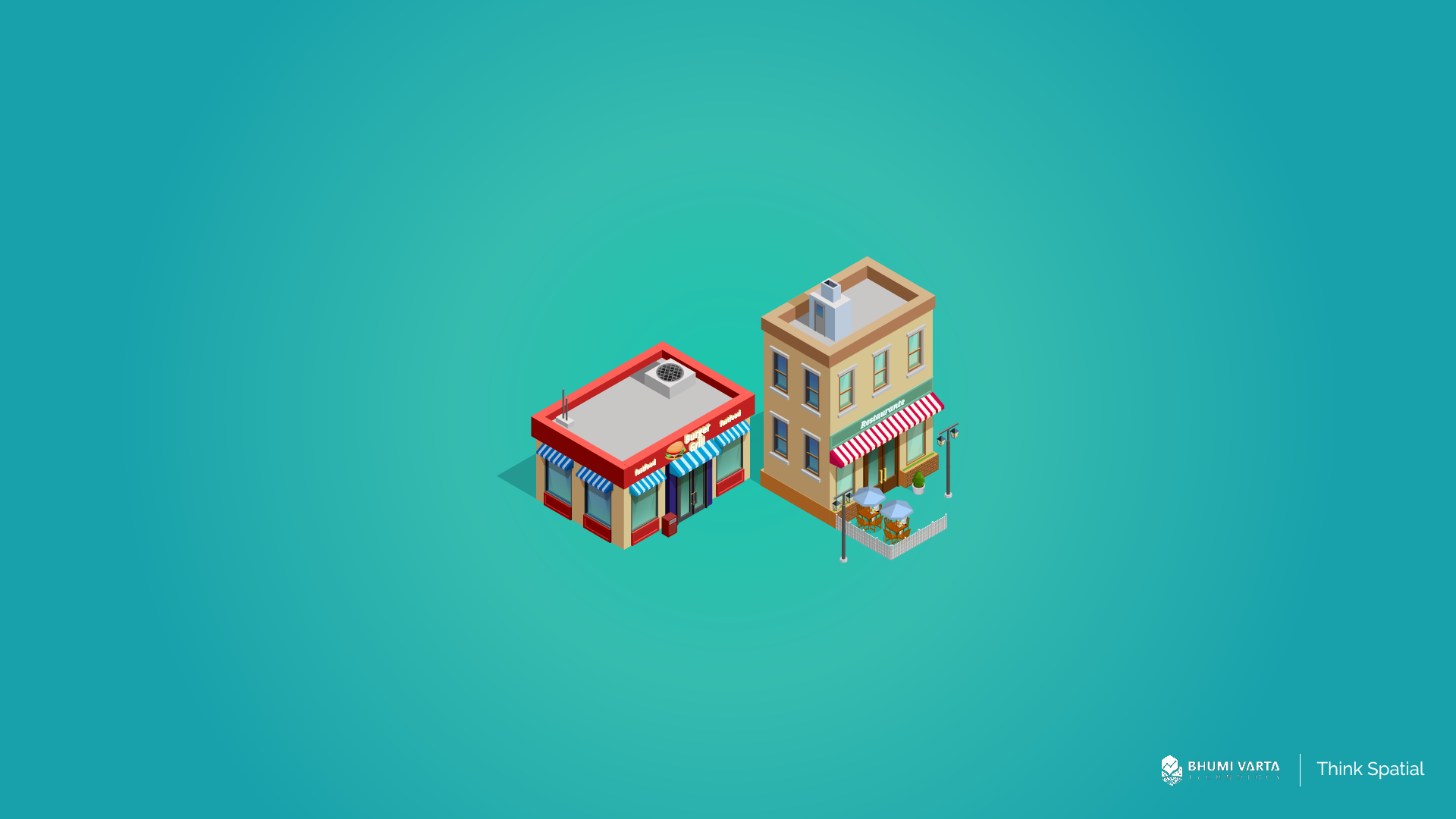
Site Selection
Geospatial data, such as demographic data, Points of Interest (POI), and people traffic, gives businesses a clear picture of how their target market moves, where they live and work, and which places they hang out at the most.
With this kind of insight, businesses can find out what kinds of businesses are already around the area, how busy the spot gets at different times, and how easy it is to reach, whether it’s near public transport, close to a main road, or in a strategic location.
By analyzing all this data, businesses can better figure out whether a location has strong potential for opening a new branch. It helps cut down the risk of picking the wrong spot and boosts the chances of long-term success and growth.
Cannibalism Analysis
Another key benefit of geospatial data is that it helps businesses perform cannibalization analysis between branches. This type of analysis gives businesses a clearer understanding of the catchment area or service coverage of each existing branch within a specific region.
By mapping geospatial data such as customer distribution, visit frequency, and the reach radius of each branch, businesses can identify whether plans to open a new branch in the area might result in overlapping catchment zones.
If the coverage areas of two branches overlap and target the same group of customers, there’s a high risk of cannibalization, where one branch ends up reducing the performance of the other.
With this analysis, businesses can determine the ideal spacing between branches to avoid competing for the same customers. This helps ensure healthy business growth, more balanced customer distribution, and gives each branch a better chance to succeed without internal competition.
Marketing Personalization
People in different places usually have different tastes, needs, and preferences. What works for customers in one area might not click with people somewhere else. That’s why businesses need to tailor their promotions, such as changing up the messages, offers, and marketing style based on who they’re targeting in each location.
By getting to know the demographics and interests of customers in each spot, businesses can create promos that feel more personal and relevant. For example, in office areas, promos might focus on quick and practical products, while in family neighborhoods, the focus could be on comfort and togetherness.
When promotions are personalized like this, customers feel like the brand really gets them and cares about what they want. And that emotional connection is what makes people more likely to buy.
Optimize Supply Chain
Finally, geospatial data plays a crucial role in optimizing the supply chain. By leveraging location data, businesses can create more efficient and time-saving distribution channels.
Geospatial data enables businesses to identify the most optimal delivery routes, avoid congestion, and take into account travel distances and road conditions.
Additionally, businesses can locate the warehouse, distribution center, or supplier closest to each branch, speeding up the delivery process and reducing logistics costs.
This efficiency not only shortens delivery times but also boosts customer satisfaction by ensuring goods arrive on time. At the same time, businesses can minimize resource waste and improve the accuracy of operational planning.
Get Complete Geospatial Data with LOKASI Intelligence
LOKASI Intelligence is a geospatial analytics platform integrated with location intelligence technology and comprehensive geospatial data. This platform provides a variety of important data such as demographics, socioeconomic status, disaster data, land prices, people movement (people traffic), Points of Interest (POI), and other relevant information.
All this information can be used by businesses to identify high-potential areas, determine the best locations for new branches, analyze the risk of cannibalization between branches, understand urbanization levels, and monitor land value trends in a region.
By using LOKASI Intelligence, businesses can make more accurate and strategic location-based decisions, increasing their chances of success in expansion and operations.
Learn more about how LOKASI Intelligence can help your business by contacting: Email: [email protected] or WhatsApp: 087779077750
FAQ
Why is geospatial data important?
Geospatial information is important for businesses because it enables more accurate, data-driven decisions related to location. By understanding factors like the area’s conditions, target market distribution, crowd levels, accessibility, and nearby competitors, businesses can develop more effective strategies.
Why do we need geospatial data?
We need geospatial data because it helps businesses make precise decisions, from choosing the best location for a new branch, avoiding internal competition through cannibalization analysis, tailoring promotions to the unique characteristics of each region, to optimizing shipping routes. All these decisions become more accurate, reducing the risk of costly mistakes.
What is the importance of spatial data?
Spatial data is important because it helps businesses identify opportunities and make the most of their existing potential.