Maybe you’ve heard of GIS, or Geographic Information System, but WebGIS might still be unfamiliar to you. WebGIS can actually be considered a more advanced and modern version of traditional GIS. In this article, we’ll break down what WebGIS is in a simple way, starting from how it works to the benefits it offers.
Contents
Getting to Know WebGIS
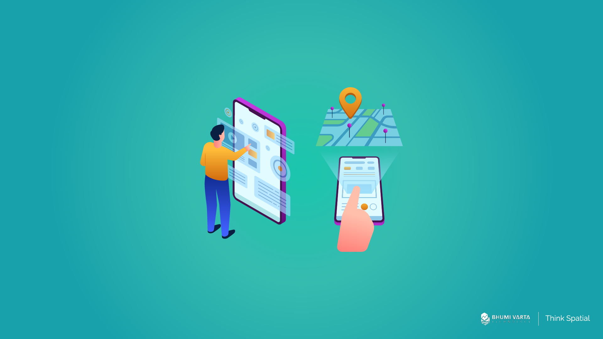
WebGIS is a system composed of software and/or hardware configurations designed to enable users to access, analyze, visualize, and share spatial data online via the internet.
The system works by connecting two main components: the server and the client. The server functions as the core for storing and processing spatial data, typically a GIS server that contains information such as maps, location data, and other geospatial layers.
The client, on the other hand, refers to the device or application used by the end user to access the data. This can be a web browser such as Google Chrome or Mozilla Firefox, a mobile app on a smartphone, or a dedicated desktop application.
Each WebGIS server available online has a unique address in the form of a URL (Uniform Resource Locator), which acts like a “home address” on the internet. With this URL, clients can easily locate and connect to the WebGIS server to retrieve or display the spatial data they need.
Through the interaction between the server and the client, the exchange of spatial information can occur dynamically and in real time, enabling users from various backgrounds to access and utilize location data more efficiently, flexibly, and practically, without being limited by physical location.
Here are five key elements in Web GIS:
- Each WebGIS server available online has a unique URL that can be accessed via the internet. This URL acts like an address, allowing clients (users) to locate and connect to the GIS services provided by the server through a web browser or a dedicated application.
- Clients—such as web browsers or mapping applications—use the HTTP (HyperText Transfer Protocol) standard to send requests to the server. These requests may involve accessing spatial data, retrieving maps, or querying specific geographic information.
- Once the server receives a request, it processes it by performing the requested GIS operations—such as rendering maps, analyzing geographic data, or retrieving specific spatial datasets. The results are then returned to the client using the HTTP protocol.
- The data or information sent by the server to the client can be presented in various formats depending on the type of request. Common formats include:
- HTML (HyperText Markup Language): for displaying interactive web content
- XML (Extensible Markup Language): for structuring data in a way that machines can interpret
- Binary image: such as map image files
- JSON (JavaScript Object Notation): a lightweight and widely used data format in web applications
Benefits of Using Web GIS
After understanding what Web GIS is, let’s explore the benefits that come from using this technology. Here are some of the key advantages:
Accommodates More Users
Traditional GIS is typically limited to one user at a time on a single computer. This system is local and closed, which means it does not support shared access or real-time collaboration. All tasks—such as loading data, performing spatial analysis, and visualizing results—must be done individually on that device.
In contrast, Web GIS is built to support multiple users simultaneously, from tens to even thousands of users at the same time. Accessing Web GIS only requires an internet connection, no need to install special software. This makes it far more flexible and efficient, especially for large-scale use by organizations, government agencies, or the general public.
Better Cross-Platform Performance
Most Web GIS users access services through web browsers such as Mozilla Firefox, Internet Explorer, Apple Safari, Google Chrome, and others. These browsers generally support standard web technologies like HTML and JavaScript, which form the foundation for building the interface and functionality of Web GIS.
Thanks to this support, browsers can display interactive maps, process user requests, and run various mapping features—directly from the web page. Users don’t need to download or install any special software; they simply open a browser and access the Web GIS via its URL.
Moreover, because HTML and JavaScript are cross-platform technologies, Web GIS applications built on them can run smoothly on multiple operating systems, including Microsoft Windows, macOS, and Linux. This ensures greater flexibility and accessibility, allowing users to access the system from virtually any device, without being tied to a specific platform.
Easy to Use
Web GIS is designed to be accessible to a wide range of users, including the general public who may have little to no technical background in GIS. This differs from desktop GIS, which is typically intended for professional users—those who have received specialized training and have experience in conducting in-depth spatial data analysis.
Because Web GIS targets non-technical users, it is developed with a focus on simplicity, ease of use, and intuitive interfaces. The goal is to ensure that anyone—whether students, office staff, business owners, or everyday users—can easily access and utilize geospatial information without needing to understand complex terms or undergo technical training.
Features in Web GIS are made more streamlined and user-friendly. Tasks such as searching for locations, measuring distances, or viewing statistical data for a specific area can be done with just a few clicks in a browser. This makes Web GIS far more practical than desktop GIS, which tends to be more complex and often requires software installation and configuration.
Grow Your Business with Web GIS – LOKASI Intelligence
LOKASI Intelligence is a geospatial analytics platform that integrates location intelligence with comprehensive and accurate location data. Easily accessible through any web browser, LOKASI is designed to help businesses better understand regional dynamics, identify market potential, and make faster, more accurate location-based decisions.
With LOKASI, businesses can find the best locations for expansion, identify strategic areas, optimize distribution networks, and evaluate the performance of each location. All of these features help improve operational efficiency, enhance business performance, and reduce risk in decision-making.
Want to learn more about how LOKASI Intelligence can support your business growth?
Contact us at: 📧 Email: [email protected],📱 WhatsApp: 0877-7907-7750
FAQ
What is WebGIS?
WebGIS is a system that allows users to access, analyze, display, and share spatial data online via the internet. This system usually consists of software and/or hardware that has been configured to support the process.
What are the Benefits of WebGIS?
The benefits of GIS include being able to accommodate more users, better cross-platform performance, and ease of use.
What Does GIS Mean?
The meaning of GIS (Geospatial Information System) is a computer system designed to store, manage, analyze, and visualize data related to geographic location or position.