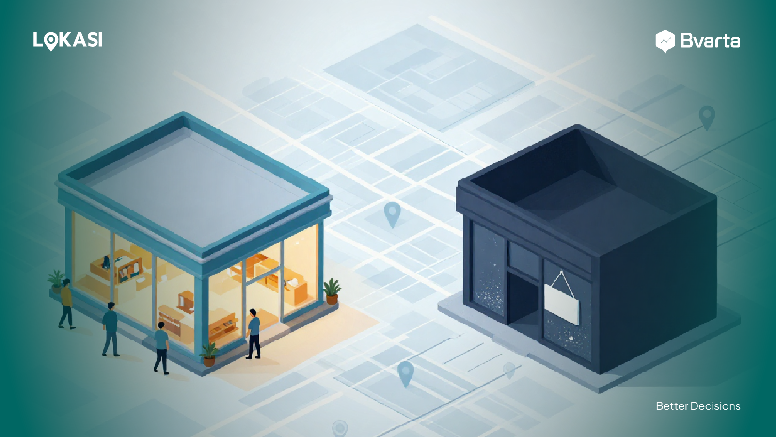
Until recently, GIS was often seen as just a tool for creating maps. But as technology continues to evolve, GIS has taken on a much bigger role, especially when combined with Business Intelligence.
By integrating GIS with BI, businesses can do more than simply visualize data on a map. They can uncover patterns, spot trends, and identify opportunities in a deeper and more meaningful way. With richer data insights, teams can work more efficiently, make faster data-driven decisions, and avoid unnecessary costs.
In this article, we will break down the main differences between traditional GIS and GIS integrated with Business Intelligence, and explore the key benefits businesses can gain from using both together.
Contents
A Glance at GIS and Business Intelligence
First, it is important to understand what each technology does. A Geographic Information System (GIS) is a technology used to capture, store, manage, analyze, and display spatial or location-based data.
Meanwhile, Business Intelligence (BI) refers to tools or software applications that collect, process, analyze, and visualize raw data from various sources.
For many years, Web GIS and BI were often used separately, each serving its own specific purpose. However, when these two technologies are integrated, businesses can unlock far greater value.
Business Intelligence helps organizations transform raw data from multiple sources into structured, easy-to-understand insights that are ready to support decision-making.
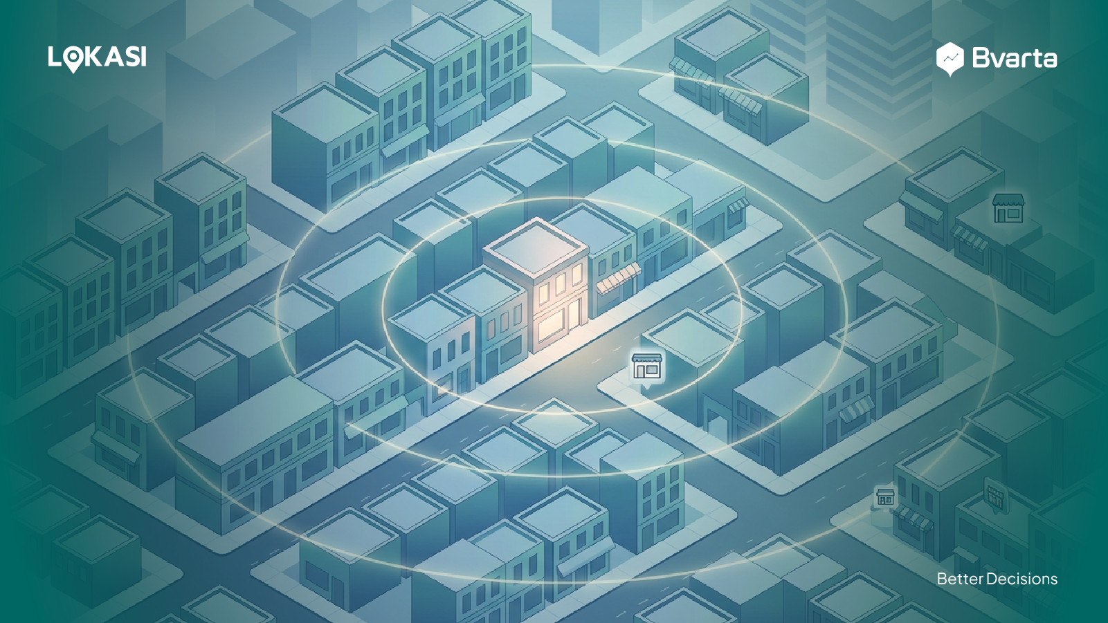
On the other hand, GIS adds a spatial layer to the analysis by examining and visualizing data in its real-world context, down to specific locations such as street addresses.
By combining the two, businesses can gain insights that are not only more holistic but also more detailed. The integration of BI and GIS makes it easier to understand data as a whole, not just through numbers and trends, but also through how those insights play out in real-world conditions.
With this more complete view, companies can develop strategies that are more relevant, accurate, and better aligned with actual operational realities and market needs.
Differences Between Traditional GIS and GIS Integrated with BI
When GIS is integrated with Business Intelligence tools, its approach and capabilities go beyond those of traditional GIS. Some of the key differences include the following:
Insights
Traditional Geographic Information Systems (GIS) mainly focus on identifying and visualizing the locations of objects or events. Their role is often limited to answering questions about where something happened.
In contrast, GIS integrated with Business Intelligence plays a more strategic role. It not only shows where a phenomenon occurs but also helps explain why it happens in a specific location. Through this integration, spatial patterns can be directly connected to business performance and outcomes.
For example, a business can analyze a drop in sales in a particular area and link it to external factors, such as the arrival of a new competitor nearby or changes in infrastructure, like the construction of a toll road that alters consumer access and makes the business location harder to reach.
Ease of Use
Another key difference lies in ease of use. Traditional GIS generally requires specialized skills and knowledge, such as geospatial expertise, which means its use is often limited to analysts or technical experts. The processes of data analysis and interpretation are typically more complex and require specific training.
In contrast, GIS integrated with Business Intelligence, often referred to as GEO-BI, is designed to be more user-friendly and accessible to a wider range of roles within an organization.
With intuitive interfaces, interactive dashboards, and easy-to-understand visualizations, GEO-BI enables non-technical users, such as business, marketing, and management teams, to explore data, understand location-based insights, and make informed decisions without having to rely entirely on geospatial specialists.
Data Integration
The final difference lies in data integration. Traditional GIS typically focuses on processing and analyzing geospatial data, such as maps, coordinates, and other location-based information. As a result, data integration is often limited to spatial sources, leading to analyses that are primarily geographic in nature.
In contrast, GIS integrated with Business Intelligence offers far greater flexibility in combining multiple data sources.
Beyond spatial data, this approach can also incorporate non-spatial information, such as sales figures, demographic data, operational metrics, and customer data. By bringing spatial and non-spatial data together within a single analytics platform, businesses can gain more comprehensive and actionable insights.
Benefits of GIS Integrated with BI Tools for Businesses
Integrating GIS with Business Intelligence offers a wide range of benefits for companies across various industries. Some of these benefits include:
Insurance Industry
Insurance companies can use Geo-BI tools to analyze and identify areas with appropriate and sustainable premium or interest rate levels based on the economic conditions of each region.
With a location-based approach, area segmentation is no longer limited to administrative boundaries or artificial divisions such as ZIP codes. Instead, it is based on the actual characteristics and conditions of a region.
By combining spatial and non-spatial data, including income levels, population density, regional risk factors, and local economic activity, insurance companies can create more accurate and relevant risk zones.
As a result, premium-setting strategies become fairer, more targeted, and better aligned with real-world economic conditions, while also helping companies manage and mitigate risk more effectively.
Property and Real Estate Industry
Property and real estate businesses can use GIS integrated with Business Intelligence to evaluate asset values more comprehensively.
Rather than focusing solely on current market prices, this analysis also takes demographic factors into account, such as occupant profiles, income levels, and potential demand within a specific area.
This integration also helps companies understand a wide range of risks influenced by geographic conditions, including exposure to natural disasters, the quality of access and infrastructure, and changes in land use or development in surrounding areas.
With these insights, property and real estate companies can develop investment and development strategies that are more informed, accurate, and aligned with market realities.
Managing Field Sales
FMCG businesses typically rely on field sales teams that play a crucial role in distributing products to distributors and maintaining strong sales networks. These activities often cover large and complex territories, making clear visibility into each sales area essential.
By using Geo-BI integrated with CRM systems, FMCG companies can manage field sales activities and performance in a more structured and efficient way.
This integration allows businesses to balance sales territory coverage with other critical information, such as distributor and supporting facility locations, consumer characteristics in each area, and potential market demand. As a result, sales territory assignments become more optimal, targeted, and effective.
Enrich Your Business Analytics with LOKASI Intelligence
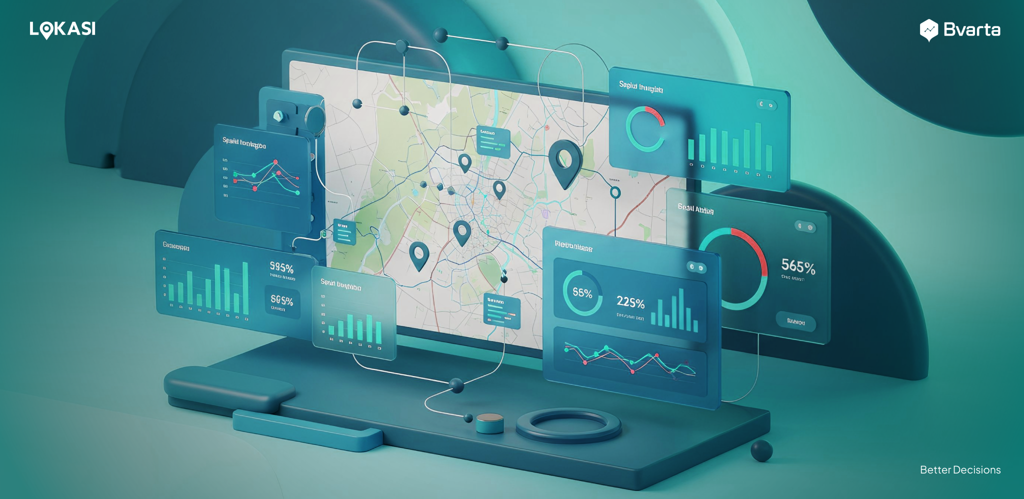
LOKASI Intelligence is a geospatial analytics platform that integrates location intelligence with comprehensive location data. It helps businesses with expansion planning, location evaluation and selection, and advanced analytics to support strategic decision-making.
With LOKASI Intelligence, businesses can upload their internal data and integrate it with a wide range of location data available within the platform, including demographics, socioeconomic conditions, points of interest, and mobile-based movement data.
By combining spatial and non-spatial data, LOKASI delivers richer, more detailed, and more comprehensive analyses. This allows businesses to more clearly identify opportunities, assess risks, and understand market potential based on real-world conditions.
To learn more about how LOKASI Intelligence can support your business, please contact us at:
Email: [email protected] or WhatsApp: 0877 7907 7750.
FAQ
What are BI tools?
Business Intelligence (BI) refers to tools or software applications that collect, process, analyze, and visualize raw data from multiple sources to support decision-making.
What is GIS?
A Geographic Information System (GIS) is a technology used to capture, store, manage, analyze, and display spatial or location-based data.
What are the advantages of GIS over maps?
Unlike traditional maps, which mainly show the location of objects or events and answer questions about where something happened, GIS provides deeper analytical capabilities.
When integrated with Business Intelligence, GIS becomes even more powerful. It not only shows location-based information but also helps explain why a phenomenon occurs in a specific place by connecting spatial patterns with underlying data and business context.