According to CNBC, President Prabowo has announced plans to develop 44 industrial areas to help boost national economic growth.
Large-scale projects like this need well thought out urban planning so development runs smoothly, stays connected, and fits the needs of nearby communities.
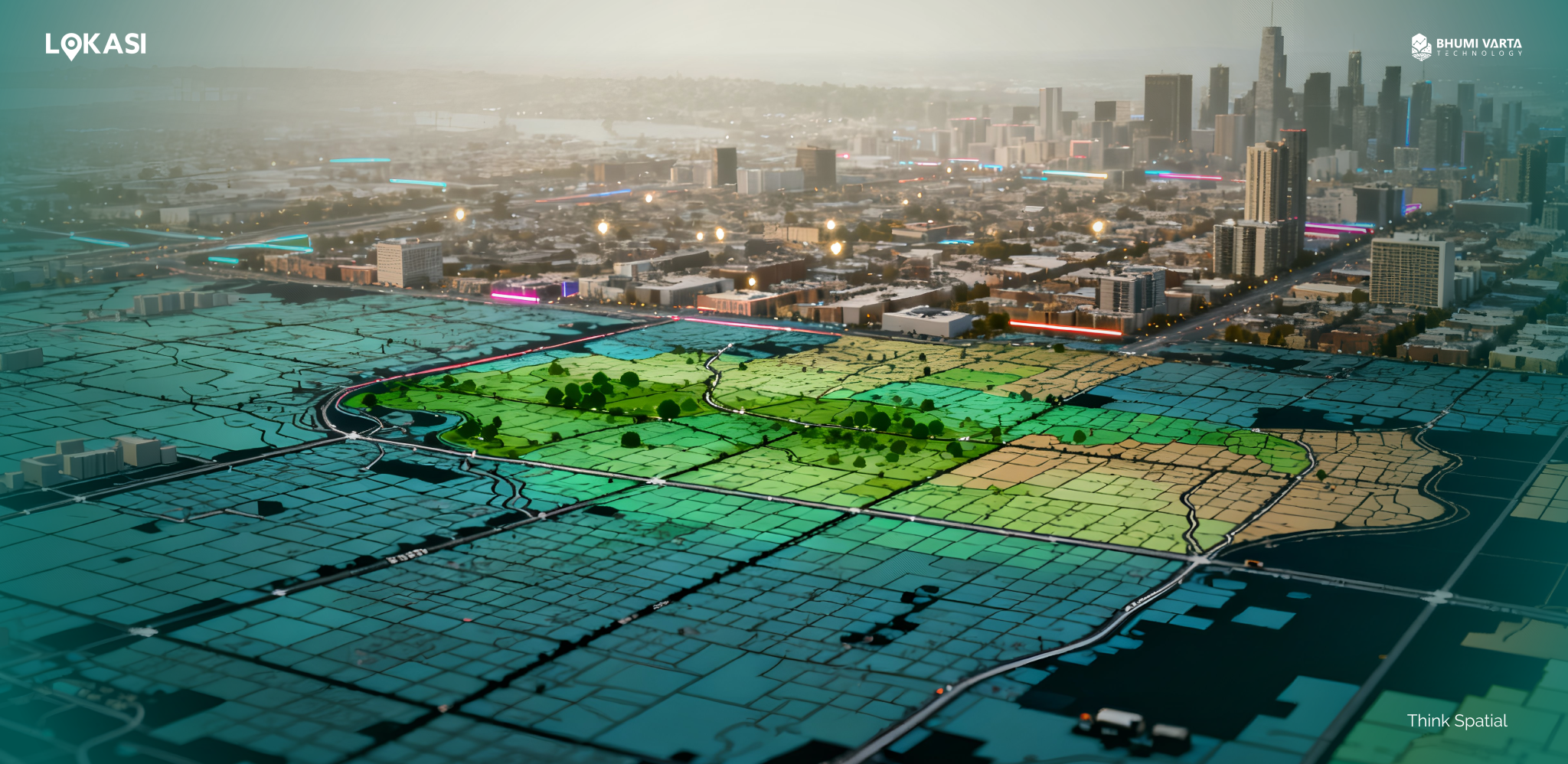
To make urban planning more focused and sustainable, technology plays a big role, especially geospatial analysis. This approach helps city planners see what is really happening on the ground, understand movement patterns, spot high-density areas, and uncover insights that support smarter planning decisions.
In this article, we will explore why geospatial analysis matters in urban planning and how it can help cities grow in a more efficient and balanced way.
Contents
What Is Urban Planning?
Urban planning is a process that involves developing plans, setting regulations, and managing urban and metropolitan areas. This process focuses not only on how a city is physically built, but also on how its spaces are organized so they can be used effectively, safely, and sustainably to support various community activities.
More broadly, urban planning can be defined as an effort to improve the quality and functionality of existing urban areas while also designing and developing new urban spaces in designated locations. It plays a crucial role in addressing increasingly complex urban challenges, such as air and environmental pollution, ecological impacts on surrounding areas, and congestion caused by high levels of economic activity and mobility.
Beyond present-day needs, urban planning also looks toward the future by considering long-term development goals and sustainability aspirations. This forward-looking approach helps cities prepare for and adapt to challenges such as climate change, ensuring more resilient and livable urban environments over time.
Urban Planning and Industrial Estates
In the context of industrial estates, the role of urban planning becomes increasingly important. Proper planning helps strategically position manufacturing facilities and factories to support economic growth, improve logistics efficiency, and strengthen supply chains.
At the same time, urban planning ensures that potential negative impacts, such as pollution, environmental pressure, and disruption to nearby residential areas, are properly managed. In addition, urban planning aims to balance industrial development with community well-being.
Industrial estates are therefore designed not only as centers of production, but also as part of a broader urban ecosystem, where environmental, social, and economic aspects can coexist in a more balanced and sustainable way.
The Importance of Geospatial Analysis in Urban Planning
Geospatial analysis is an analytical approach that uses location-based data with the support of technologies such as Geographic Information Systems (GIS). This method is applied to identify patterns, relationships, and trends within spatial data, enabling a deeper understanding of how people, objects, and various phenomena interact within a specific area.
This understanding forms the foundation for more accurate, data-driven decision-making. Geospatial data includes all types of information linked to a particular location, such as addresses, geographic coordinates, population census data, administrative boundaries, road networks, and environmental data.
By combining multiple types of data, geospatial analysis provides a more comprehensive view of a region’s condition from physical, social, and economic perspectives.
In urban planning, the primary focus is organizing and managing space. Because “place” or location is a core element of this process, geospatial data naturally becomes the foundation of urban analysis.
Geospatial analysis enables city planners to understand connections between different areas, identify urban development trends, and gain deeper insight into existing conditions, ranging from land use regulations and environmental issues to population patterns and behaviors.
The insights generated from geospatial analysis can then be used as a basis for shaping urban development policies and strategies. These include determining the most suitable locations for factory development, optimizing transportation networks, and designing supporting infrastructure that aligns with community needs and long-term city growth.
How Is Spatial Analysis Used in Urban Planning?
After understanding the concept of urban planning and the important role of geospatial analysis within it, it is useful to examine how spatial analysis is applied in practice.
Optimizing Urban Land Use
One of the primary uses of geospatial analysis in urban planning is to optimize land use, both in urban areas and in other development zones. Through geospatial analysis, urban planners can map zoning boundaries, assess land suitability and sustainability, and project future growth patterns and land-use changes.
This analysis helps planners better understand the characteristics of each area, including physical land conditions, accessibility, and relationships with surrounding areas. Based on these insights, urban planners can identify the most suitable locations for different purposes, such as residential development, commercial and entertainment areas, and the designation of green open spaces.
Accelerating and Improving Infrastructure Development Effectively
Another key use of spatial analysis in urban planning is improving the effectiveness of infrastructure development. By using geospatial analysis, urban planners can gain a comprehensive overview of existing infrastructure conditions and understand how well these systems serve community needs across different areas.
This approach allows infrastructure assets to be mapped in detail, providing a clear picture of service distribution and accessibility throughout the city. As a result, service gaps can be identified early in the planning process, such as areas that are not yet served by road networks, public transportation, or basic utilities. Early identification helps streamline planning, save time, and reduce construction costs, which often rise due to poor location choices or insufficient initial data.
Improving Connectivity and Urban Transportation Networks
Finally, geospatial analysis plays a crucial role in improving mobility within a region. By using location-based data, traffic conditions can be analyzed in greater depth, including congestion levels, daily movement patterns, and the identification of the most congested road segments and peak times.
These insights support more effective public transportation route planning, helping improve travel efficiency while also expanding service coverage. In addition, geospatial analysis supports infrastructure planning for small-scale transportation modes, such as bicycle lanes, electric scooters, motorcycles, and other micro-mobility options.
Through this data-driven approach, regional mobility can be improved more comprehensively, creating a transportation system that is smoother, safer, and more inclusive for all types of road users.
Where to Find Valuable Geospatial Analysis Solutions for Urban Planning?
One geospatial analysis solution that can be used to support urban planning is LOKASI. LOKASI is a geospatial analytics platform that integrates location intelligence with spatial data to provide a deeper understanding of an area.
With LOKASI, businesses can map specific locations, analyze existing conditions, identify activity patterns, and assess potential future development.
The platform also helps determine the most suitable locations for factories, housing, and other supporting facilities by considering factors such as accessibility, proximity to infrastructure, and the characteristics of the surrounding environment.
In addition, LOKASI can be used to optimize existing infrastructure and design more efficient transportation routes. By leveraging location-based insights, LOKASI supports more targeted, integrated, and sustainable city and regional planning.
To learn more about how LOKASI can support your business, please contact us via email at [email protected] or WhatsApp at 0877 7907 7750.
FAQ
What geospatial technologies are used for urban planning?
One of the main geospatial technologies used in urban planning is the Geographic Information System (GIS). This technology helps urban planners visualize areas clearly through digital maps, making it easier to identify patterns and understand relationships between different locations.
Why is it important to use GIS in urban planning?
GIS is important in urban planning because it helps identify patterns, relationships, and trends within spatial data. This provides a deeper understanding of how people, objects, and various phenomena interact within an area, forming the basis for more accurate and data-driven decision-making.
What is urban planning?
Urban planning is a process that involves developing plans, setting regulations, and managing urban and metropolitan areas to ensure spaces are organized effectively, safely, and sustainably.