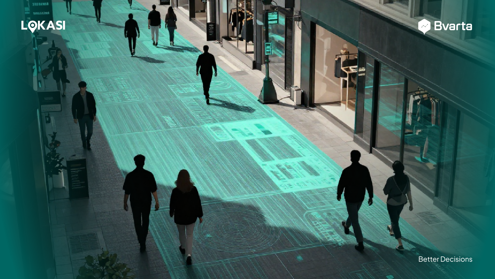
Cloud-based geospatial analysis is a clear sign of how fast technology in the geospatial world is evolving. Compared to traditional GIS, this approach offers much more flexibility and makes it easier to scale as data and needs grow.
With cloud technology, businesses and professionals can analyze and manage large geospatial datasets without having to worry about storage limits, complex infrastructure, or system performance issues.
In this article, we will take a closer look at what cloud-based geospatial analysis is, how it works, and the main differences between cloud-based solutions and the traditional GIS approach that many organizations still use today.
Contents
Understanding Cloud-Based Geospatial Analysis
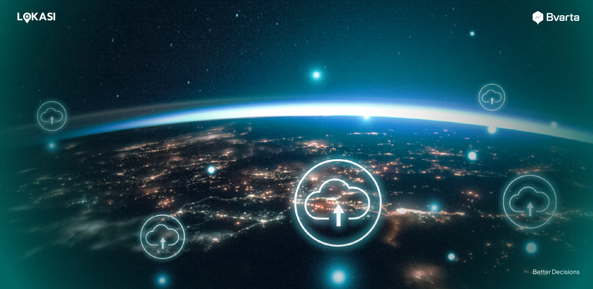
Cloud-based geospatial analysis is an approach that uses cloud technology and architecture to collect, process, analyze, and visualize geospatial data online.
With this approach, the entire analysis process no longer depends on on-premises infrastructure or dedicated hardware. By using cloud-based services, businesses can avoid complex system migrations and reduce the need for significant investments in internal servers.
Users can access geospatial analysis platforms directly through an internet connection, making the analysis process faster, more flexible, and more efficient for both daily operations and strategic decision-making.
Some of the advantages of cloud GIS include:
- Serverless architecture: Cloud GIS uses a serverless architecture that allows users to run analysis processes without having to manage or maintain servers themselves.
- Large-capacity data storage: Cloud technology offers massive storage capacity to accommodate various types of geospatial data.
- Provider-managed services: All essential services, including system maintenance, data security, and infrastructure management, are handled by the service provider. This allows businesses to focus on analysis without worrying about technical or operational issues.
Meanwhile, cloud-based geospatial analysis also uses specialized data formats, such as:
- Cloud Optimized GeoTIFF (COG): A data format that enables users to access and retrieve only the data they need, without downloading the entire file.
- Zarr: A data format that supports parallel data reading and random access. These capabilities make Zarr well suited for large-scale datasets, such as climate and weather data.
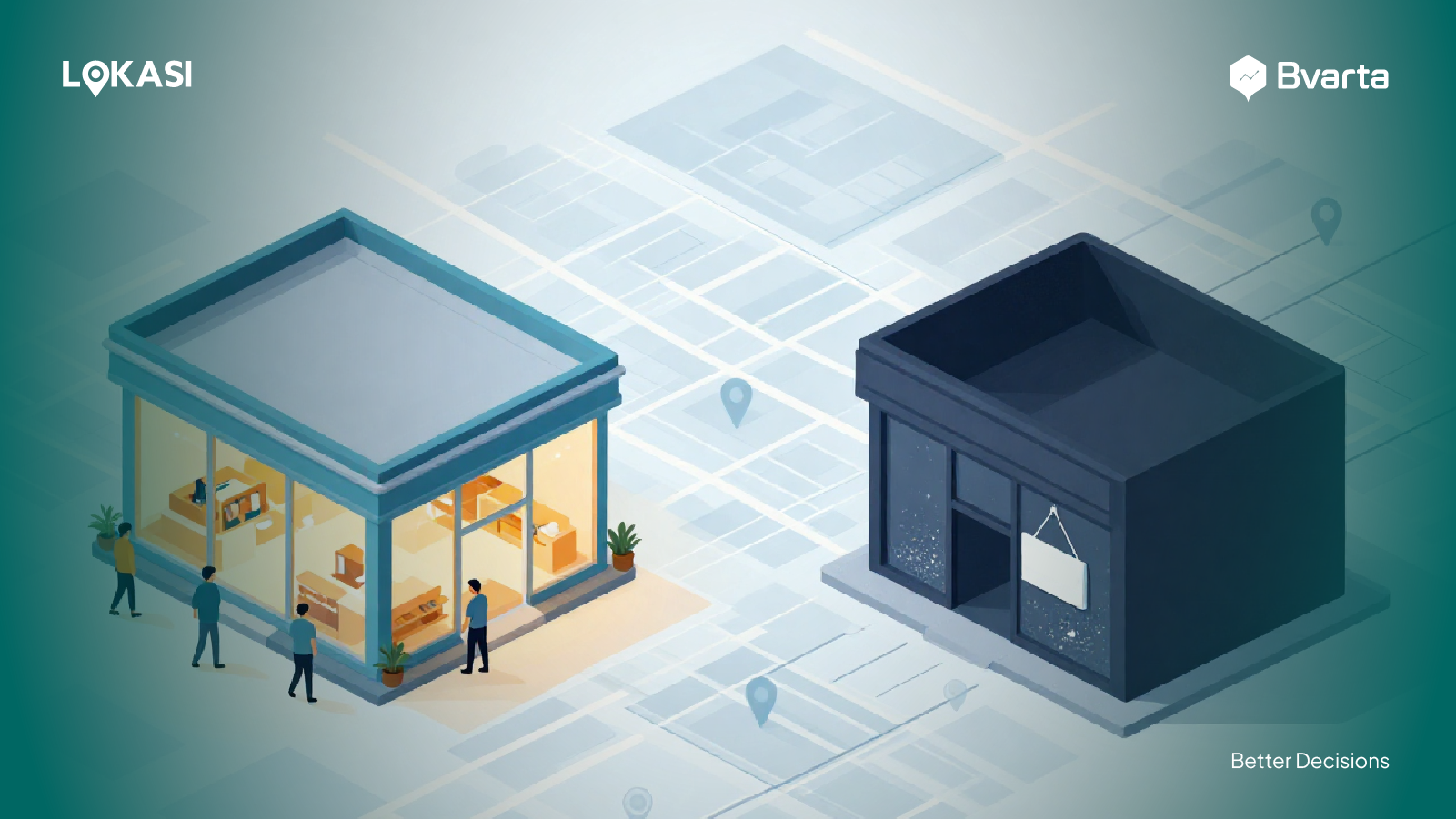
Differences Between Cloud GIS and Traditional GIS
After understanding the definition and overview of modern cloud-based geospatial technology, it is important to take a closer look at how this approach differs from traditional GIS. Below are some key differences between cloud GIS and traditional GIS.
Architecture
The most fundamental difference lies in the system architecture. In cloud-based geospatial analysis, all applications and analysis processes run on cloud server infrastructure, such as AWS, Microsoft Azure, Google Cloud, or other cloud service providers. This setup allows users to access the system online from anywhere with an internet connection.
In contrast, traditional GIS requires organizations to install and operate software on local physical servers and individual desktop computers within the organization.
Scalability
Another key difference lies in scalability. Cloud geographic information systems are designed to scale easily, allowing computing resources such as data storage and processing power to be adjusted based on user needs.
These adjustments can be made at any time without requiring system downtime or reducing analysis performance. This level of flexibility is not possible with traditional GIS, which typically runs on a single physical machine or server with fixed hardware capacity.
Traditional GIS systems depend heavily on their initial hardware specifications, including the number of CPUs, memory capacity, and available storage. As data volumes grow or analysis tasks become more complex, system performance can decline due to resource limitations and the inability to quickly scale capacity.
Costs Required
The final difference lies in cost structure and financing models. Cloud-based geospatial analysis services are typically offered through subscription or pay-as-you-go pricing.
With this model, users only pay for the resources and services they actually use, making it easier to control costs and adjust spending as business needs change.
In contrast, traditional GIS requires a relatively large upfront investment. These costs include purchasing software licenses, procuring hardware such as servers and high-performance computers, system installation, as well as ongoing maintenance and update expenses.
This cost structure can be a significant constraint, especially for organizations that need flexibility in scaling or are operating under limited budgets.
Tutorials on Using Cloud-based Geospatial Analysis Consulting in Indonesia
There are various cloud-based geospatial analysis consulting services available today that can be used by businesses and professionals across different sectors. Below is a guide to selecting and using cloud-based geospatial analysis consulting services in Indonesia.
Determine Your Needs
The first step is to clearly and specifically define your analysis requirements. Identify whether your business only needs basic geospatial analysis, such as map visualization and simple mapping, or more advanced spatial analysis, such as modeling, prediction, and spatial pattern analysis.
Defining these needs is essential because they directly influence the features and capabilities required from the platform or consulting service you choose.
By understanding your needs from the outset, businesses can ensure that the solutions they adopt are relevant, effective, and capable of supporting their analysis and decision-making goals.
Choose the Right Consulting Service
The next step is to select a cloud-based geospatial analysis consulting service that best aligns with your defined needs.
For example, if your business requires advanced spatial analysis to process complex datasets and generate in-depth insights, you should choose a service provider with strong technological capabilities and proven expertise.
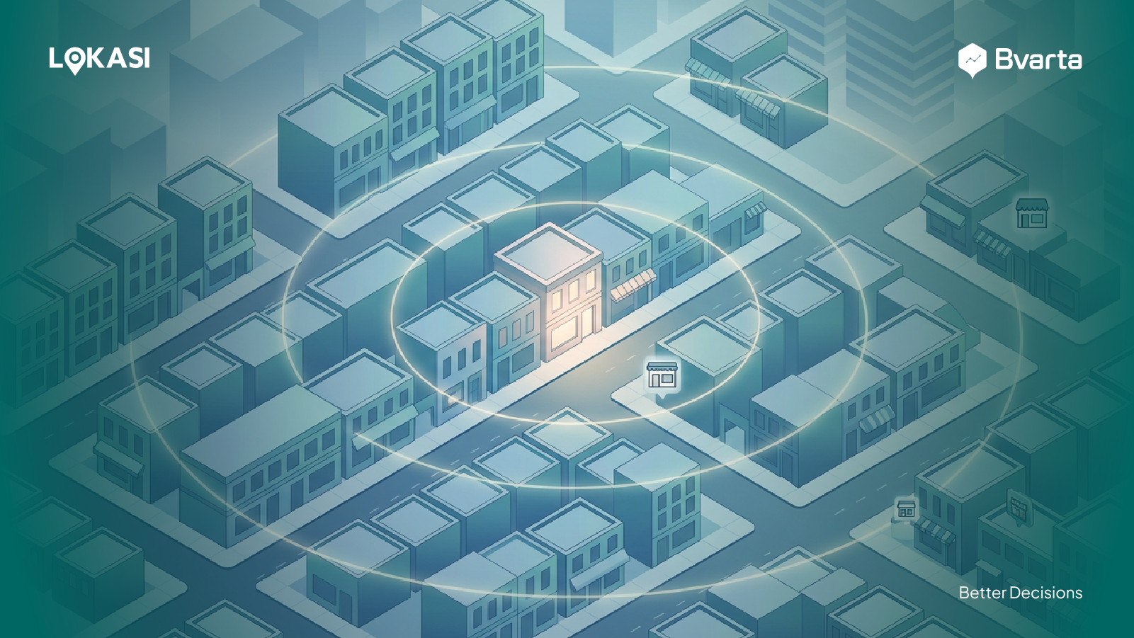
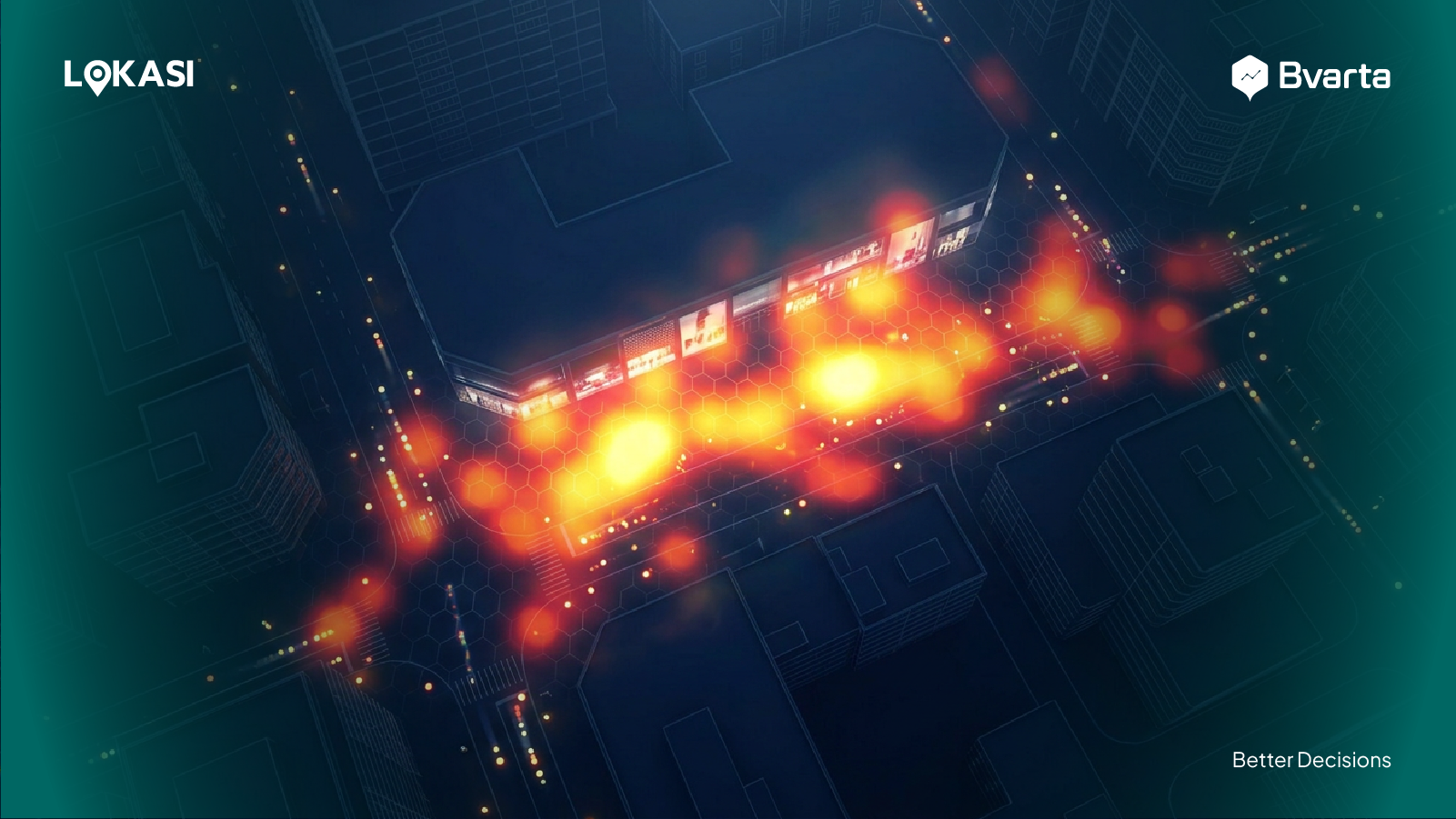
One cloud-based geospatial analysis provider you can consider is LOKASI. LOKASI is a cloud-based geospatial analysis platform integrated with location intelligence and a wide range of spatial data.
Through this platform, businesses can carry out various analytical tasks, including site selection, territory management, sales prediction, field worker management, and other strategic analyses that support location-based decision-making.
Find a Contact Person
After deciding which cloud-based GIS consulting service you want to use, the next step is to contact the service provider to obtain more detailed information.
In most cases, contact details are available on the provider’s official website, either through an email address, phone number, or a demo or consultation request form.
For example, if your business is interested in using LOKASI, you can visit the official website at bvarta.com to explore detailed information about the available services.
Businesses can also contact the team directly via email at [email protected]
or through WhatsApp at 0877 7907 7750 to ask questions, request consultations, or schedule further discussions based on their specific business needs.
FAQ
What is the difference between traditional information systems and cloud-based systems?
The main differences between traditional and cloud-based information systems in geospatial analysis are data storage capacity, flexibility, and scalability. Cloud-based systems offer larger storage capabilities, greater flexibility, and the ability to scale resources more easily based on user needs.
What are the main advantages of cloud-based systems over traditional systems?
The key advantages of cloud-based systems in geospatial analysis include serverless architecture, large-capacity data storage, and provider-managed services. These features allow businesses to focus on analysis without having to manage technical or infrastructure-related issues.
What are the main advantages of cloud computing over traditional storage?
One major advantage of cloud GIS over traditional storage is that it does not require upfront investments in hardware or software licenses. Users can access the system online anytime and from anywhere, making it more efficient and cost-effective.