Contents
What is a Spatial Decision Support System?
A Spatial Decision Support System (SDSS) is an interactive computer-based system designed to assist in decision-making processes that involve geographic or spatial data. This system is especially useful for solving complex problems where location or geographic position plays a critical role in the analysis. Unlike traditional decision support systems, SDSS integrates three core components:- Spatial data – such as maps, coordinates, satellite imagery, or other location-based information
- Analytical or decision models – including tools like mathematical programming and simulations
- Interactive user interface – which enables users to intuitively explore, visualize, and process data
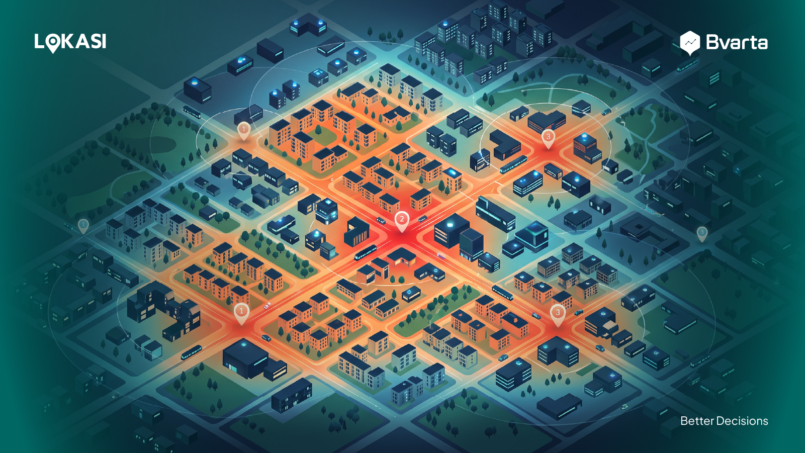
- Urban planning, for determining development zones
- Healthcare services, such as mapping access to hospitals and clinics
- Natural resource management, for tasks like land use planning or forest monitoring
- Environmental protection, to identify and preserve ecologically sensitive areas
- And many other fields where location-based decision-making is essential.
Components of a Spatial Decision Support System
A Spatial Decision Support System (SDSS) consists of three main components that work together to support location-based decision-making. Each component plays a crucial role in ensuring the system functions effectively. Here’s a detailed explanation:Database Management System (DBMS)
This component is responsible for storing, managing, and organizing the various types of data required by the system. The data includes:- Spatial data, such as digital maps, geographic coordinates, administrative boundaries, and satellite imagery
- Non-spatial data, such as demographic information, economic statistics, and other supporting data