In Indonesia, the logistics industry is showing great potential, with growth projected to hit around 12.53% by 2025. This rise is fueled by the booming e-commerce scene and a growing population that keeps driving up demand.
As logistics operations get bigger and more complex, companies in this sector need geospatial analytics to keep things running smoothly, from optimizing routes and improving delivery efficiency to better understanding how goods and fleets move.
In this article, we’ll dive into how geospatial analytics can help logistics businesses boost their overall performance.
Contents
Optimizing Delivery Routes with Geospatial Data
Logistics geospatial analytics referred to the process of using location-based data to enhance the efficiency and effectiveness of supply chain networks.
Through this type of analysis, companies can understand various geographic factors that affect the movement of goods, such as road conditions, travel distances, and traffic density.
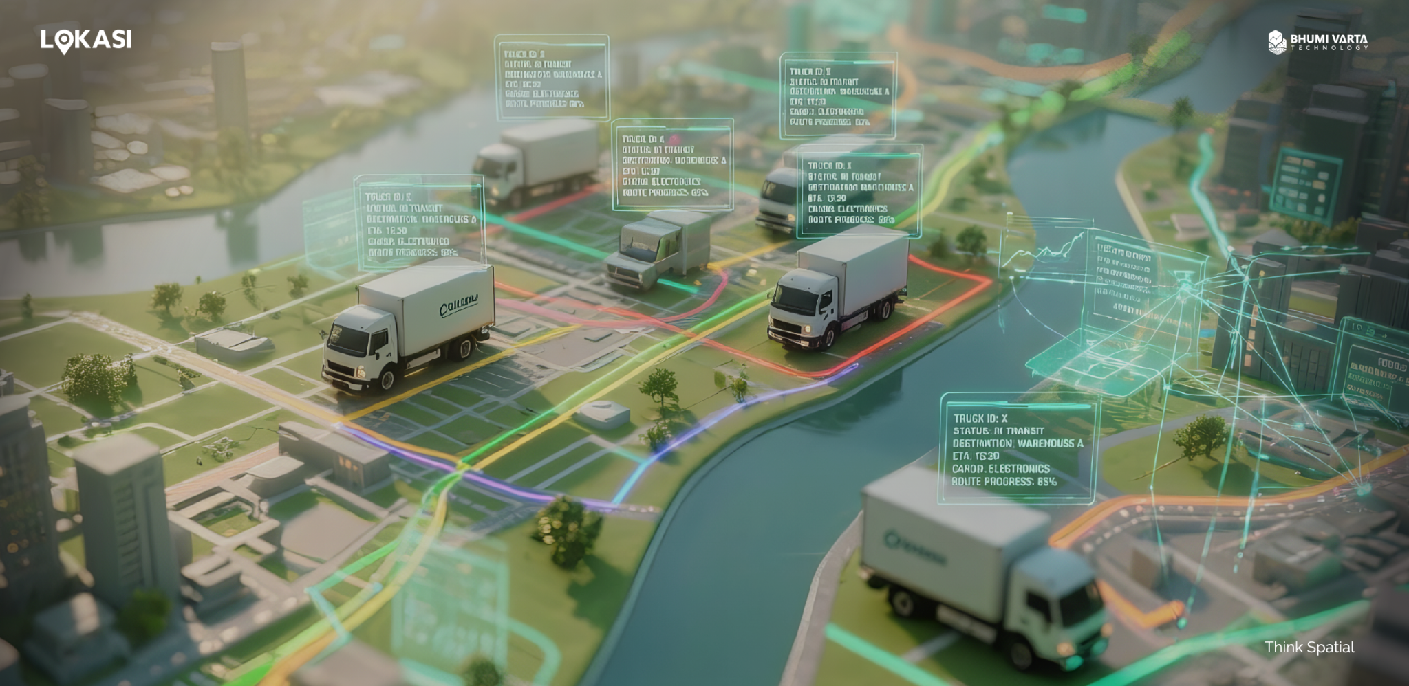
One of the main advantages is delivery route optimization. By analyzing geographic data in detail, businesses can identify the most efficient, fastest, most cost-effective, and safest delivery routes.
This approach not only helps reduce fuel consumption but also shortens delivery times and increases customer satisfaction.
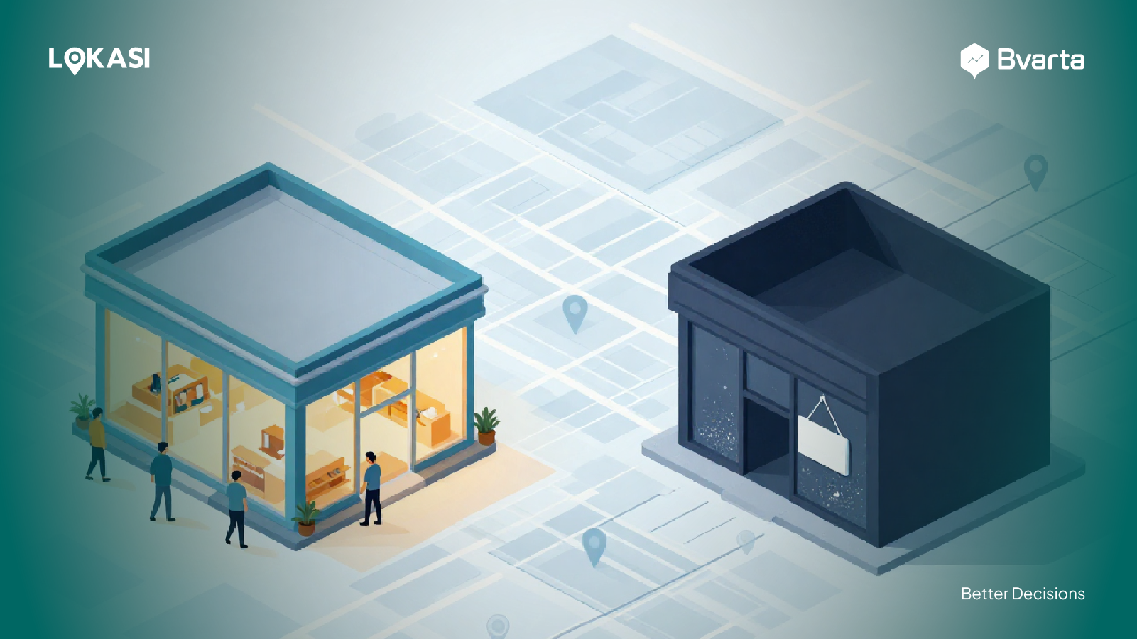
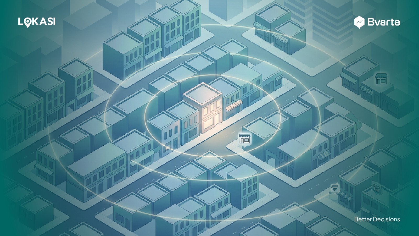
Determining Distribution Points and Warehouses
By leveraging location-based data, companies can assess key factors such as distance to the market, availability of transportation access, supporting infrastructure, and risk levels in each region.
With geospatial analytics, the entire network of warehouses and distribution points can be visualized interactively on a digital map. This allows businesses to see the operational reach of each warehouse and identify underserved areas.
This information serves as a foundation for companies to select the most efficient locations for expansion, improve delivery coverage, speed up distribution, and reduce overall logistics costs.
Improving Inventory Management and Availability
In addition to optimizing shipping routes and identifying strategic locations for warehouses or distribution points, geospatial analytics plays a crucial role in enhancing inventory management and product availability.
By using location-based analytics, businesses can gain a comprehensive view of demand patterns across regions and identify potential disruptions in the supply chain.
For example, companies can combine sales data, demographic information, and local activity trends to predict spikes in demand for specific products.
With these insights, businesses can adjust stock levels in nearby warehouses, reducing the risk of stockouts and making order fulfillment faster and more efficient.
Improving Customer Satisfaction
Geospatial analytics allows logistics businesses to provide more accurate delivery estimates while tracking their fleet in real time.
With this capability, customers can monitor the location of their shipments, and companies can transparently oversee the entire delivery process.
This not only builds trust between businesses and customers but also enhances overall service quality.
By leveraging geospatial data, companies can dynamically adjust delivery routes based on traffic conditions, weather, or other obstacles in the field.
This approach helps optimize fuel usage, reduce travel time, and minimize the risk of vehicle damage caused by inefficient routes.
Additionally, geospatial analytics enables companies to lower logistics costs and reduce their environmental impact by cutting carbon emissions.
Improve Logistics Operational Efficiency with LOKASI
LOKASI is a geospatial analytics platform integrated with location intelligence and comprehensive location data. With LOKASI, companies can easily identify the most strategic distribution points or warehouses by considering factors such as transportation access, distance to markets, regional density, and potential risks in the surrounding area.
Processes that used to be time-consuming can now be completed more quickly and efficiently, helping businesses save costs, time, and operational resources.
In addition, LOKASI supports delivery route optimization by analyzing road conditions and traffic patterns. These insights allow businesses to design the most efficient routes and speed up delivery times.
Learn more about how LOKASI Intelligence can help your business by contacting us at: Email: [email protected] or WhatsApp: 087779077750
FAQ
What is geospatial analysis in logistics?
Geospatial analysis in logistics is the process of using location-based data to enhance the efficiency and effectiveness of supply chain networks.
What technologies are used in logistics?
One key technology in logistics is geospatial analysis and location intelligence, which help businesses optimize operations and improve overall efficiency.
What are the benefits of using technology in the logistics sector?
Using technology in logistics offers several benefits, including optimizing delivery routes, identifying the best locations for distribution points or warehouses, improving customer satisfaction, and enhancing overall operational performance.