Geospatial data now plays an important role in many fields, including in environmental projects. With the help of this data, project teams can better understand regional conditions, track environmental changes, and create more effective and sustainable plans.
But choosing the right geospatial data provider isn’t always easy. Each provider offers different types of data, coverage areas, and accuracy levels. That’s why it’s important to know what to look for before deciding.
In this article, we’ll dive into some practical tips on how to pick the best geospatial data provider to make your environmental project a success.
Contents
The Importance of Geospatial Data for Environmental Projects
Environmental projects rely on geospatial data because it provides a comprehensive understanding of an area’s condition.
With geospatial data, users can analyze, monitor, and manage environmental regions using technologies such as Geographic Information Systems (GIS) and remote sensing. These tools help identify patterns, detect changes, and assess potential risks in the field.
For instance, geospatial data can be used to track deforestation, monitor carbon emissions, analyze air and water quality, and plan strategies for sustainable natural resource management.
By leveraging this data, project managers can make more informed and efficient decisions that contribute positively to environmental conservation.
Challenges in Selecting a Geospatial Data Provider for Environmental Projects
Choosing geospatial software for environmental projects should never be done hastily or without proper evaluation. The process requires careful consideration to ensure that the data obtained is relevant, accurate, and easily integrated into project analysis and decision-making.
However, finding the right data provider often comes with several challenges. Below are some of the most common obstacles organizations face when selecting a reliable geospatial data provider or platform for environmental projects.
Data Quality and Accuracy Issues
One of the main challenges in using geospatial data is the diversity of data sources involved. Geospatial data can come from various sources such as satellite imagery, drone surveys, ground sensors, and field observations, each with different resolutions, formats, and processing standards.
These variations can complicate the process of integrating and analyzing data, requiring project teams to make additional adjustments to ensure consistency and accuracy when comparing information from multiple sources.
Another challenge lies in data accuracy and completeness. Not all collected data is perfect; there may be spatial or temporal gaps that make certain datasets incomplete.
For example, cloud cover in satellite imagery can obscure specific areas, resulting in missing observations for certain time periods. Such data gaps can ultimately affect the precision of analysis and the quality of decisions made in environmental projects.
Availability of Specific Data for Environmental Projects
Another challenge is that not all geospatial data providers offer data that is truly specific or relevant to the needs of environmental projects. Each project has its own focus and objectives, which often require diverse and highly detailed data types.
Unfortunately, some providers only supply general datasets or data limited to certain regions, making them insufficient for complex environmental analyses.
In general, environmental projects require access to various types of geospatial data, such as:
- Boundary data
- Infrastructure data
- Point of Interest (POI) data
- Property and demographic data
- Hydrographic data
- Land use and land cover data
- Soil data
- LiDAR data
How to Choose the Right Geospatial Data Provider
Now that you understand the importance of geospatial data and the challenges involved in using it for environmental projects, the next step is learning how to choose the right geospatial data provider.
To help you make the right decision, here are some practical tips for selecting a geospatial data provider that can deliver accurate, relevant, and high-quality data to support your environmental projects.
Determine the Data Needs
The first step is to clearly understand the type of environmental project you are undertaking and identify what kind of geospatial data is truly needed. Each project has a different focus and analytical requirements, so the type of data required will also vary.
Start by defining the scope of the project, whether it is local, regional, or global. Then, specify the environmental aspects you want to monitor, such as land cover, deforestation, air pollution, carbon emissions, or water resource management.
Next, determine the type of geospatial data that best supports your analysis. For instance, use satellite imagery to monitor land cover changes or LiDAR data to analyze surface contours and vegetation density.
By understanding your project’s specific needs from the beginning, you can more easily identify a geospatial data provider that offers relevant and accurate data aligned with your project objectives.
Use a Third-Party Provider
If your environmental project requires regularly updated, high-resolution data with specific details, consider working with a third-party geospatial data provider.
Professional providers typically have access to a wide range of data sources and can deliver highly accurate information tailored to your project’s unique needs.
Beyond offering raw data, many geospatial data providers also provide advanced analytics services that help speed up data processing and interpretation.
Features such as interactive visualizations and spatial analysis tools enable project teams to better understand field conditions quickly and accurately. This, in turn, supports more precise and efficient decision-making based on reliable data.
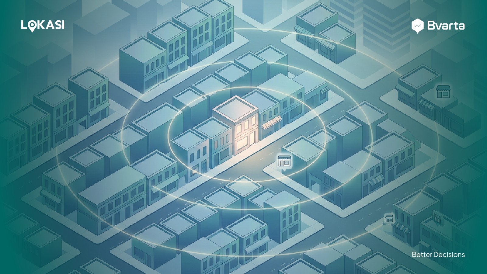
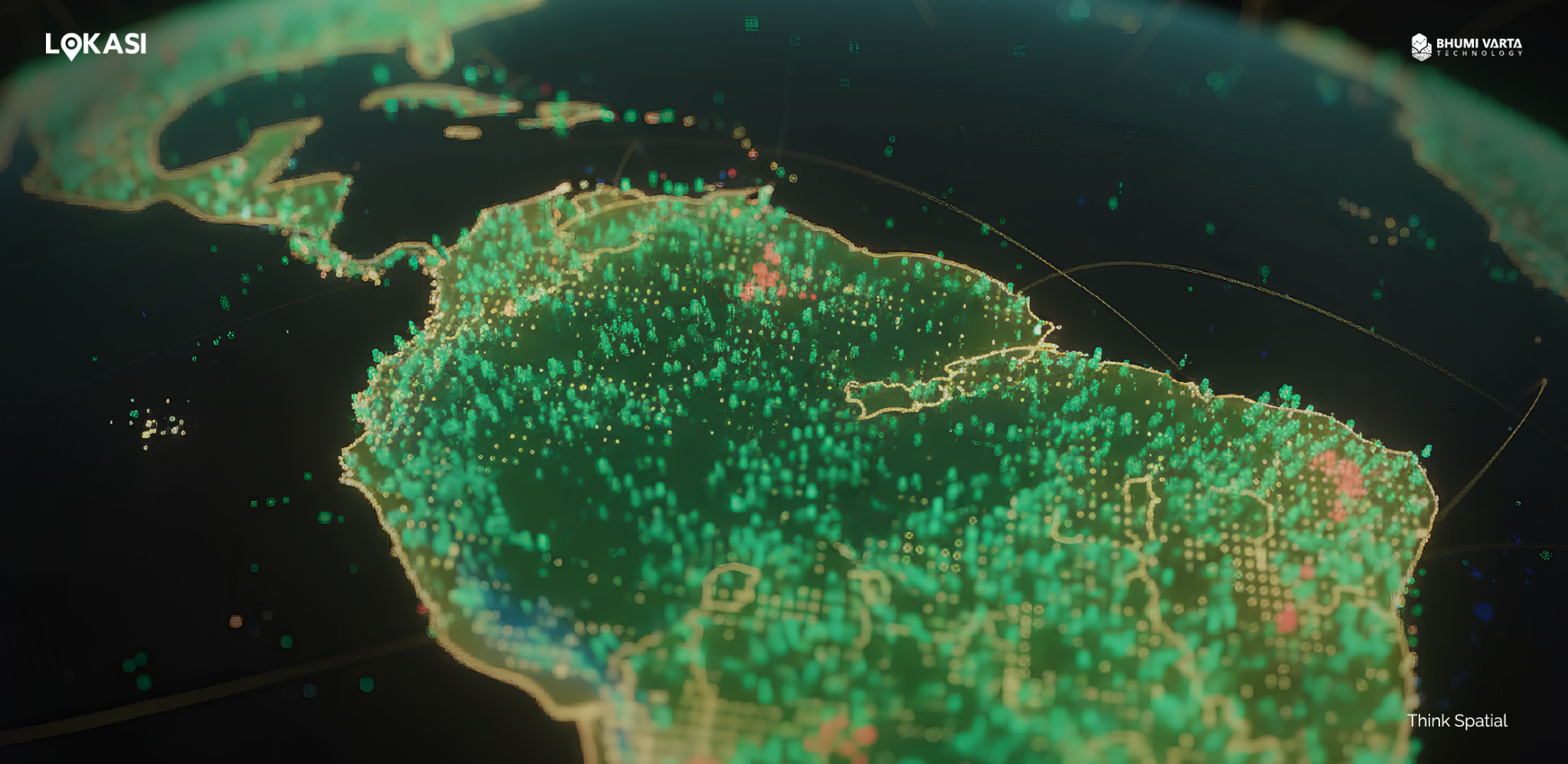
Get Complete Geospatial Data with LOKASI
LOKASI is a geospatial analytics platform integrated with location intelligence and a comprehensive range of geospatial data. Through LOKASI, users can access various types of essential data, including demographics, socioeconomic status, Points of Interest (POIs), disaster data, land values, and population mobility information.
LOKASI also provides interactive visualization tools that allow users to clearly view and understand data patterns. With informative map displays, users can identify trends, uncover relationships between variables, and gain valuable insights to support data-driven decision-making.
Learn more about how LOKASI Intelligence can help your business by contacting us at [email protected] or WhatsApp: 0877 7907 7750
FAQ
What are geospatial applications?
One example of a geospatial application is LOKASI Intelligence. LOKASI is a geospatial analytics platform integrated with location intelligence and comprehensive geospatial data. With LOKASI, businesses can identify the best locations to open new stores or branches and analyze each site in detail.
In what fields is geospatial information used?
Geospatial information is applied in many fields, including environmental management. Through geospatial data, project teams can more accurately assess regional conditions, visualize environmental changes or patterns, and plan effective and sustainable strategies.
What is geospatial data?
Geospatial data includes boundary data, infrastructure data, Points of Interest (POI), property and demographic data, hydrographic data, land use and land cover data, soil data, and LiDAR data.