Contents
Data Visualization Features
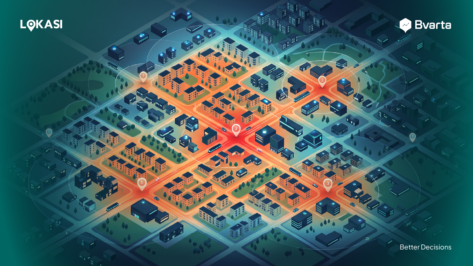
First, mapping software should have the ability to visualize data in a clear and informative way. Visualizing data through maps allows users to understand complex information more quickly and intuitively. One key element of this feature is the heatmap, which displays the distribution of data across different geographic areas. Heatmaps typically use color gradients to represent varying levels of concentration. The more intense the color, the higher the density or amount of data in that area. This is very useful for identifying trends, hotspots, and locations that may serve as points of interest. In addition, the visualization feature should provide information about area coverage and estimated travel times between locations. This helps businesses analyze customer accessibility to store locations or delivery routes. The software should also allow users to add, remove, or customize data layers on the map based on their needs. The ability to display multiple data layers at the same time enables users to conduct more in-depth and comprehensive analysis by examining the relationships between different types of data within a single visual interface.Has All the Data Businesses Need
Second, ideal mapping software should be equipped with a collection of relevant and ready-to-use data tailored to the needs of retail businesses. One of the biggest challenges in location analysis is data availability. Therefore, it is essential to ensure that the software already provides access to various types of important data without requiring users to manually gather it from other sources. Some of the key data that should be available include:- Demographic data, such as population size and distribution, age, and occupation
- Competitor data, to understand the presence and distribution of competing stores in the analyzed area
- Infrastructure data, including access to main roads, public transportation, shopping centers, and other public facilities
Integrated with Location Intelligence
Finally, it is important to ensure that the mapping software being used is integrated with a location intelligence feature. This integration brings significant value to retail businesses, especially when it comes to making strategic decisions based on geographic data. Location intelligence refers to the process of analyzing data related to geographic locations to generate insights that support better decision-making. With this feature, businesses can conduct in-depth analysis of specific areas. For example, they can evaluate population size, demographic profiles, and the level of people movement or people traffic in a given location. In addition, location intelligence enables businesses to project potential revenue using location-based data and customer behavior patterns. It also helps in anticipating market trends based on the dynamics of a particular region and in managing potential risks. One of the most valuable benefits of this feature is its ability to help businesses identify the best locations for opening new branches or outlets that match the profile of their target market. By combining location data, customer insights, and competitor analysis, businesses can choose the most strategic locations to support long-term growth.LOKASI Intelligence, the Best Mapping Software for Retail
LOKASI Intelligence is a geospatial analytics platform that is integrated with location intelligence features and equipped with complete and regularly updated location data. With LOKASI, businesses can access a wide range of location-based information quickly and accurately to support strategic decision-making. Using LOKASI, users can carry out several important types of analysis, including:- Area analysis, to understand the characteristics of a specific region, such as demographics, population density, infrastructure, and consumer behavior.
- Location benchmarking, which allows businesses to compare two or more potential areas based on key parameters like population size, level of competition, and social economic status.
- Catchment area analysis, to identify how far a store or outlet can reach within a certain distance or travel time.
- Site selection for expansion, by evaluating the suitability of a location based on the target market, ease of access, and business opportunities.