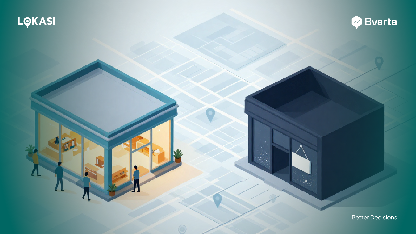
Do you often order food delivery or look for nearby cafés and restaurants to dine in? If yes, you’ve actually been interacting with the principles of Geographic Information Systems (GIS) without even realizing it.
Features like finding locations, calculating distances, choosing routes, and viewing places on digital maps all rely on location data, which is at the core of how GIS works.
In this article, we’ll break down GIS in a simple way, from what it is and how it works, to its key functions and real-life examples, both in everyday situations and in the business world.
Contents
Understanding Geographic Information Systems (GIS)
A Geographic Information System (GIS) is a computer-based system used to collect, store, process, validate, and display data related to geographic locations, such as roads, buildings, green areas, and various other objects on the Earth’s surface. This geographic data is visualized through interactive digital maps, making it easier for users to understand regional conditions more clearly.
Through these visualizations, businesses can perform in-depth spatial analysis to identify patterns, trends, and relationships between locations. This helps them gain a better understanding of real-world conditions and provides a strong foundation for informed decision-making.
Geographic Information Systems play a crucial role because they can reveal trends, patterns, and relationships hidden within geographic and location-based data that are often difficult to interpret when presented only in tables or numerical formats. By combining spatial analysis with map-based visualization, GIS allows users to see connections between locations in a more clear and comprehensive way.
As a result, it is not surprising that an increasing number of businesses and industries rely on Geographic Information Systems to support daily operations, plan strategies, and optimize overall business performance and efficiency.
How Geographic Information Systems Work in Simple Terms
Geographic Information Systems help businesses visualize geographic or location-based data through clear and easy-to-understand maps. GIS not only displays data but also enables spatial analysis to generate meaningful insights. In the following section, we will explain how Geographic Information Systems work step by step.
Define the Problem to Be Solved
The first step is to clearly define the problem or analysis objective you want to address. For example, this could include understanding population distribution within a specific area, analyzing the availability and distribution of public facilities such as schools, hospitals, clinics, and shopping centers, or mapping transportation infrastructure and other supporting elements.
Clearly defining the problem helps businesses focus their analysis and determine which geographic and non-geographic data are relevant and necessary to effectively address the challenge.
Collect Required Data
The next step is to collect and compile all the data needed for the analysis. In Geographic Information Systems, the quality of the analysis results depends heavily on the accuracy, completeness, and timeliness of the data used.
Businesses can obtain data from various sources based on their analytical needs. For example, demographic data can be sourced from official institutions such as the Central Statistics Agency (BPS). If satellite imagery is required, businesses can work with satellite imagery service providers.
In addition to gathering data from multiple sources independently, businesses may also choose to use integrated data provider services that offer comprehensive datasets in one place. This approach makes the data collection process more efficient, as it eliminates the need to search for and manage data from multiple sources separately.
Preparing Data for Processing
Even after all the required data has been collected, it cannot be used immediately. The data must first go through a preparation and processing stage to ensure it is suitable for analysis.
During this stage, the data is reviewed and cleaned to eliminate errors, inconsistencies, and irrelevant information. A validation process is also conducted to ensure the data is accurate and reliable, including identifying and removing duplicate records.
Next, the data is standardized or converted into formats that are compatible with GIS software, allowing it to be processed efficiently. Overall, this stage ensures the data is well-structured, properly integrated, and fully prepared for use in spatial analysis.
Conducting Analysis in Geographic Information System Software
Once the data is ready, businesses can visualize it using Geographic Information System (GIS) software in the form of informative and easy-to-understand digital maps. Through these visualizations, businesses can perform spatial analysis to identify distribution patterns, relationships between locations, and emerging trends within a region.
Additionally, by applying overlay analysis, which involves combining one data layer with multiple other layers, businesses can examine relationships between variables in a more comprehensive way. This approach enables businesses to uncover hidden insights that may not be apparent when data is analyzed separately, ultimately supporting more informed, location-based decision-making.
Following Up on Analysis Results
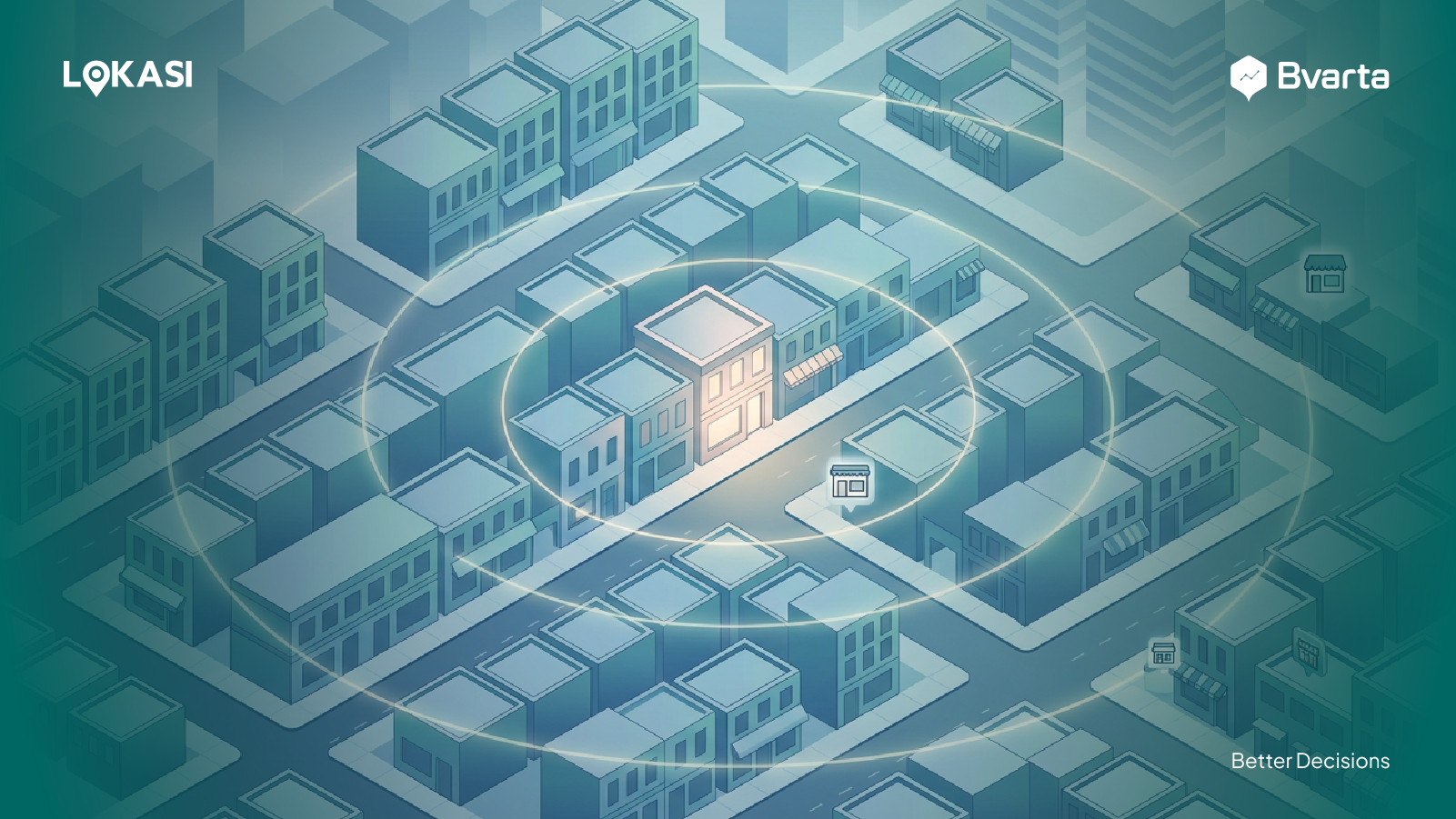
Finally, the insights generated from the GIS analysis process can be used as a foundation for more targeted, data-driven business decisions. For example, when a business plans to open a new branch, GIS can help identify and prioritize locations that best match the characteristics of the target market.
This process involves analyzing multiple layers of data, including demographic profiles, foot traffic levels, location accessibility, and other supporting factors. Once a potential location has been identified, the business can conduct a field survey to verify that real-world conditions align with the analysis results. Alternatively, the business may proceed directly to the operational preparation phase and open a new branch with more controlled risks and more thorough planning.
Functions of Geographic Information Systems
Geographic Information Systems offer a wide range of functions that can be used by businesses and professionals to support and optimize decision-making processes.
These functions enable users to analyze, manage, and interpret location-based data more effectively. Below are some of the main functions of Geographic Information Systems that support various analysis and planning needs.
Data Management
The first key function of a Geographic Information System is data management. Through GIS software, users can organize, update, and manage geographic information from multiple sources, including government agencies and third-party data providers.
All data is stored in a structured and integrated format, making it easier to access, maintain, and reuse for analytical and decision-making purposes.
Geospatial Analysis
Another key function of a Geographic Information System is its ability to handle complex geospatial analysis. GIS enables users to perform a wide range of analyses, including location searches and evaluations, assessment of area characteristics, and mapping the distribution of public facilities and demographic conditions.
Through spatial analysis, users can identify patterns and relationships between regions and gain deeper insight into the characteristics of a location. This includes understanding the types of activities in surrounding areas, levels of accessibility, potential crowd density, and even vulnerability to disaster risks.
With these comprehensive analytical capabilities, GIS helps businesses and professionals develop a thorough and accurate understanding of a region.
Data Visualization and Mapping
In addition to supporting geospatial data management and analysis, Geographic Information Systems (GIS) have a key capability in visualizing location-based data through informative and intuitive maps. Map-based visualizations present geographic information in a clear and contextual way, making it easier for users to understand regional conditions.
Compared to visualizations such as graphs, tables, or other formats, maps allow users to directly and comprehensively observe relationships between locations, distribution patterns, and spatial connections. As a result, the insights generated are easier to interpret and more effective for supporting informed decision-making.
Examples of GIS Applications in Various Fields
As discussed earlier, Geographic Information Systems can be utilized by a wide range of businesses and industries to support analytical and planning needs. Below is a more detailed explanation of how Geographic Information Systems are applied across different sectors.
GIS for Urban Planning
One prominent example of GIS application can be found in the urban planning sector. In this context, GIS plays a crucial role in helping governments, property developers, and urban planners manage and allocate regional resources more effectively.
By using GIS, stakeholders can analyze existing land use, design efficient transportation networks, and plan infrastructure development in line with regional requirements. The results of this analysis help decision-makers identify areas that require improvement or further development, while also evaluating the potential impact of each development plan.
At the same time, GIS supports more sustainable urban planning by incorporating environmental and social considerations, ensuring that development is balanced, responsible, and aligned with long-term community needs.
GIS Use for Healthcare Facilities
In the healthcare sector, Geographic Information Systems play a vital role, especially during disease outbreaks or pandemics such as COVID-19. GIS enables case data and infection spread to be visualized through clear and easy-to-understand maps, allowing disease patterns to be observed across different regions.
Through spatial visualization and analysis, health authorities can quickly identify high-risk areas that require immediate intervention. Beyond outbreak monitoring, GIS is also widely used in healthcare service planning. This includes identifying optimal locations for drive-thru vaccination sites and planning the construction of new hospitals and clinics to ensure closer proximity to communities in need and improved accessibility to healthcare services.
GIS for the Food and Beverage Industry
In the food and beverage industry, Geographic Information Systems are commonly used to visualize existing branch networks and support the identification and evaluation of new locations. Through map-based displays, businesses can view the overall distribution of outlets and identify areas with strong market potential.
For example, when a franchise plans to open a new branch, GIS helps determine the most suitable location by analyzing various factors such as demographic profiles, traffic levels, accessibility, and the presence of competitors. In addition, GIS can be used to validate the feasibility of a location by assessing the area’s potential and key characteristics, enabling businesses to make more informed and strategic expansion decisions.
Optimize Business Performance with LOKASI Intelligence
LOKASI Intelligence is a geospatial analytics platform integrated with location intelligence and comprehensive location data. It enables businesses to visualize, explore, and analyze spatial data through interactive digital maps, allowing them to gain faster and more actionable location-based insights.
LOKASI is equipped with a wide range of critical data, including demographics, people traffic, socioeconomic conditions, land values, and other supporting datasets. This eliminates the need for businesses to spend time searching for and integrating data from multiple sources.
With these capabilities, LOKASI Intelligence helps businesses perform various geospatial analyses, such as location selection, network expansion, and operational strategy optimization, with greater accuracy and efficiency.
To learn more about how LOKASI Intelligence can support your business, please contact: Email: [email protected] or WhatsApp: 0877 7907 7750
FAQ
What is a Geographic Information System?
A Geographic Information System (GIS) is a computer-based system designed to collect, store, process, validate, and display data related to geographic locations, such as roads, buildings, green areas, and various other objects on the Earth’s surface.
What does a Geographic Information System study?
A Geographic Information System focuses on identifying patterns, trends, and relationships between locations through the analysis of spatial data.
What is the primary purpose of a GIS?
The primary purpose of a GIS is to help users better understand regional conditions, relationships, and patterns by visualizing geographic data through interactive digital maps.