Micro, Small, and Medium Enterprises (MSMEs) play a big role in Indonesia’s economy. They create jobs, support local communities, and help businesses grow across different regions.
Even so, many MSMEs still face challenges. Limited access to markets and uncertainty about where to set up a business are some of the most common ones.
This is where geospatial analysis comes in. By using location-based data, MSMEs can spot areas with strong potential, reach the right customers, and run their operations more efficiently.
In this article, we’ll explore how geospatial analysis can help MSMEs choose better business locations and expand their market reach with more confidence.
Contents
A Glance at MSMEs in Indonesia
According to the Coordinating Ministry for Economic Affairs of the Republic of Indonesia, MSMEs make a significant contribution to the national economy. This sector contributes more than 60% of Indonesia’s Gross Domestic Product (GDP) and absorbs nearly 97% of the total workforce.
MSMEs also play an important role in export performance, accounting for around 15.7% of total national exports. Currently, Indonesia has approximately 64 million MSMEs spread across various regions.
These enterprises operate across a wide range of sectors, including trade, agriculture, manufacturing, services, culinary, handicrafts, fashion, and digital technology.
Despite their strong potential and growth prospects, MSMEs still face several major challenges. One of the biggest pressures comes from increasing competition with imported products in the domestic market.
The influx of imported goods at more competitive prices has reduced the competitiveness of many MSMEs, leading to declining revenues for some businesses.
Data from Bappenas shows that around 40% of MSMEs have experienced a decline in revenue due to the rising flow of imported products into the domestic market.
This situation limits the ability of MSMEs to compete, especially those that struggle with pricing, distribution, or production scale.
In addition, MSMEs must also deal with global economic uncertainty, challenges in optimizing business operations, and limited access to wider markets.
These pressures highlight the need for MSMEs to adapt and adopt more effective strategies in order to survive and grow amid increasingly intense competition.
Benefits of Geospatial Analysis for MSMEs
After understanding the overall situation of MSMEs in Indonesia, let’s take a closer look at how a geospatial approach can help MSMEs make better-informed decisions, especially when it comes to choosing strategic business locations.
By using location-based data, MSMEs can assess market potential more objectively. Below are some of the key benefits of geospatial analysis for MSMEs:
Identifying High-Potential Areas
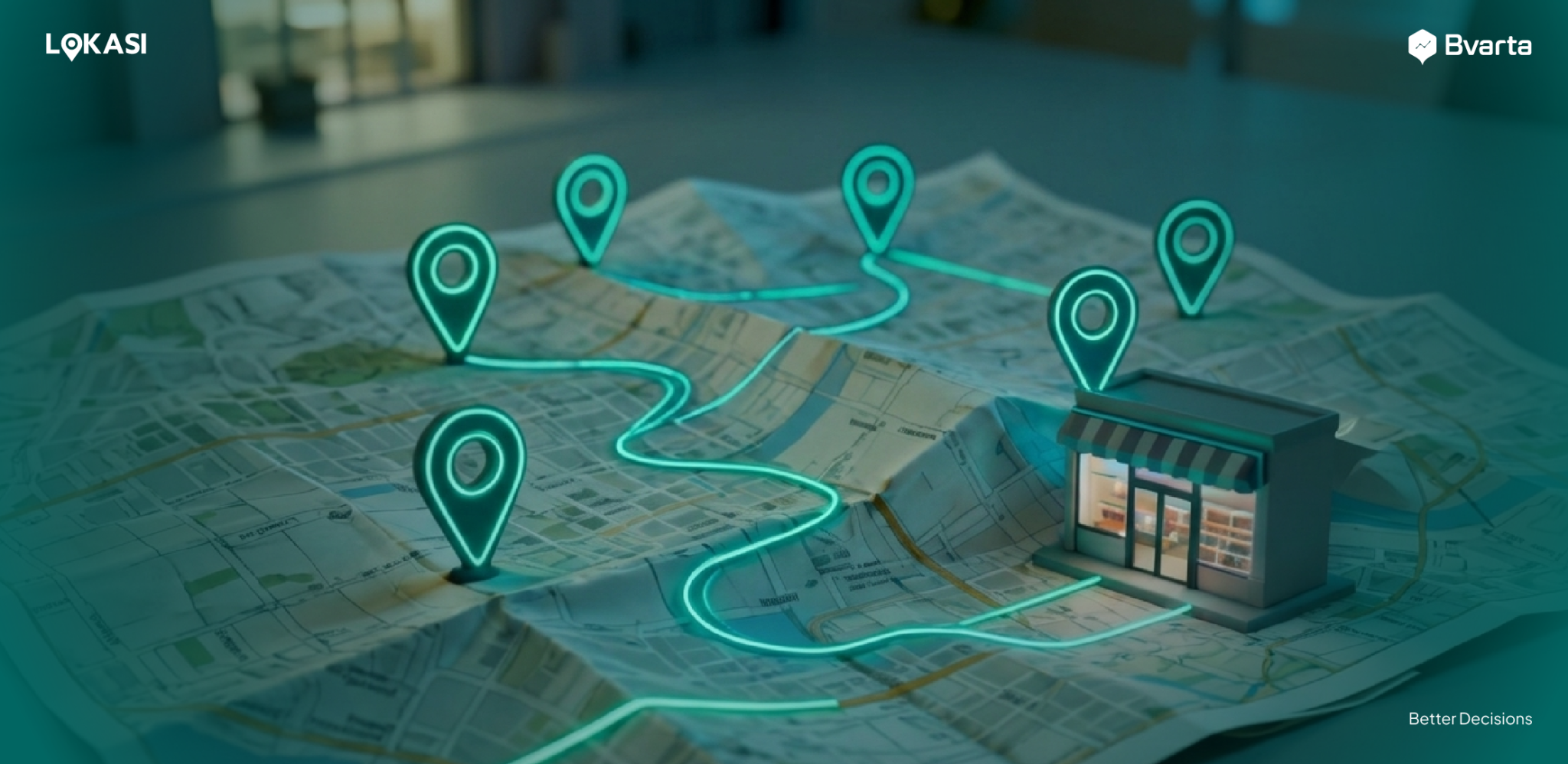
When geospatial analysis is combined with location intelligence and comprehensive location data, the process of selecting a business location becomes far more targeted. This approach allows businesses to translate their specific needs into a clear map of regional potential.
For example, if a business targets areas near schools, offices, banks, or tourist destinations, with a predominantly millennial and Gen Z population and high foot traffic, all of these criteria can be analyzed at the same time.
Based on the results, several areas or locations will emerge as the best fit for the target market. This reduces the need for business owners to spend time on trial and error or conduct manual location surveys.
As a result, location selection becomes more efficient, objective, and data-driven, increasing the likelihood of business success.
Location Potential Analysis
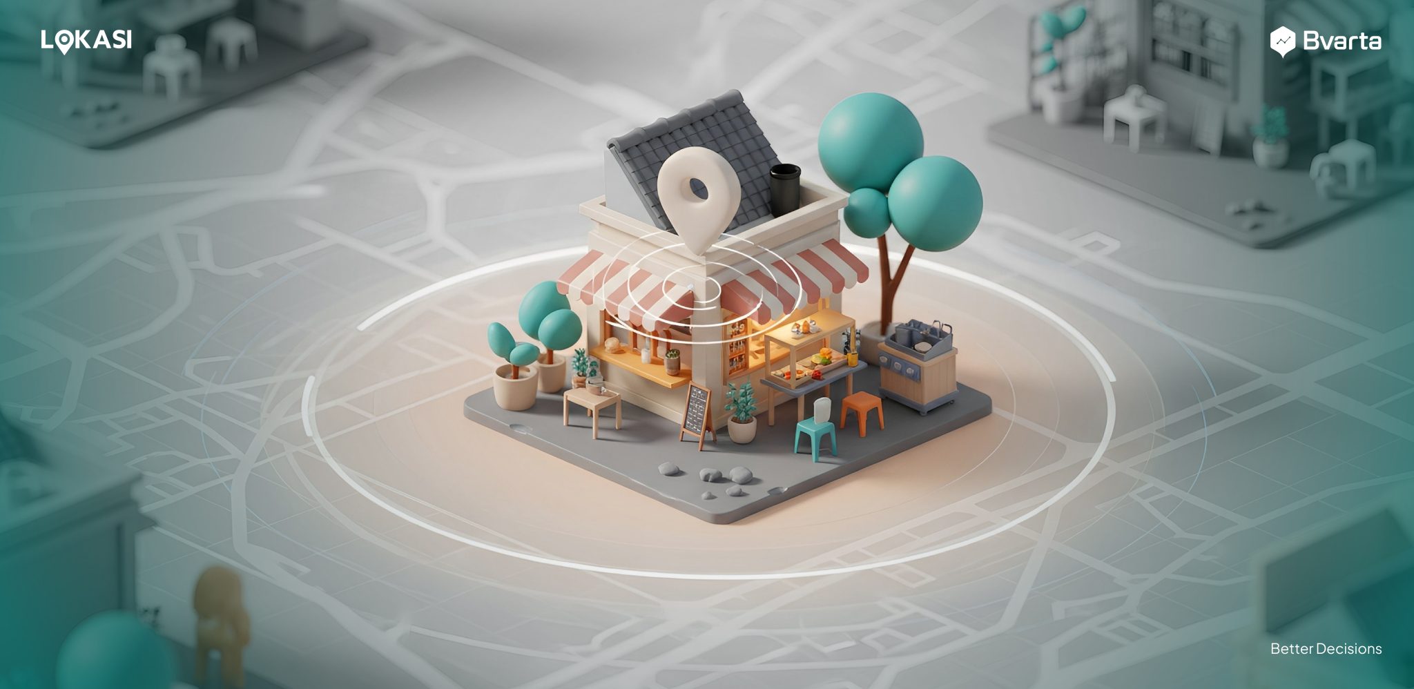
If a business owner already has a location in mind but is unsure about its potential, geospatial analysis can provide a clearer and more objective assessment.
This approach allows businesses to evaluate a location in depth. The analysis includes identifying key points around the area, such as activity centers, public facilities, and high-attraction locations, while also examining the demographic profile of the surrounding population.
Key factors such as the dominant economic class, purchasing power, and local activity patterns are taken into account. In addition, accessibility and location visibility can be assessed to understand how easily the site can be reached.
Based on these insights, business owners can determine whether the chosen location has strong potential and is worth developing as part of a long-term business strategy.
Identifying Crowded Areas
The integration of geospatial analysis, location intelligence, and location data plays an important role in helping businesses understand crowd patterns.
With this approach, businesses can identify areas where large numbers of people gather or frequently pass by, while also gaining insight into how people behave in those locations.
Not all busy-looking areas have strong customer potential. Through geospatial analysis, businesses can determine whether people in an area are actually stopping and engaging in activities, or simply passing through without the intention to stop.
For example, a location along a main road may have high traffic flow, but most people are often in a hurry and unable to stop due to limited access.
In contrast, areas such as alleys or well-known shopping spots often show different movement patterns. People tend to walk, stop, and interact in these areas, creating greater opportunities to attract customers.
By understanding these patterns, businesses can select locations that are not only busy, but also truly relevant to their business goals.
Find the Best Location for Your Business with LOKASI Intelligence
LOKASI Intelligence is a geospatial analytics platform that integrates location intelligence with comprehensive location data. It helps MSMEs gain clearer insights into area potential and identify the most relevant locations for opening or expanding their businesses.
Through the Grid Analysis feature, businesses receive recommendations for areas that best match their target market and business needs. This analysis is based on various location indicators to highlight areas with the strongest potential.
Businesses can then use the Site Analysis feature to explore each recommended location in greater detail. This feature provides a comprehensive view of area characteristics, including people traffic levels, population demographics, nearby points of interest, socio-economic conditions, accessibility, location visibility, and land prices. With these insights, MSMEs can make location decisions more confidently and increase their chances of success.
To learn more about how LOKASI can support your business, please contact us via email at [email protected] or WhatsApp at 0877 7907 7750.
FAQ
What strategies are currently being implemented to support MSME development?
One effective strategy to support MSME development is the use of digital technology. This includes adopting location intelligence and geospatial analytics solutions, such as LOKASI Intelligence, to reduce the risk of errors when selecting business locations.
How can digital technology help MSMEs grow their businesses?
Digital technology helps MSMEs grow by minimizing mistakes in business location selection while also speeding up and simplifying the business expansion process.
What are some examples of digitalization programs that support the MSME sector?
One example is the use of location intelligence and geospatial analytics platforms to assist business owners in choosing the right locations. With solutions like LOKASI Intelligence, MSME owners no longer need to manually visit multiple areas to find potential locations, a process that is time-consuming and labor-intensive.