Not long ago, Indonesia was struck by yet another major disaster when severe floods swept through Aceh, North Sumatra, and West Sumatra, taking hundreds of lives and destroying thousands of homes and public facilities. In times like these, technology can make a difference in speeding up disaster response and mitigation.
One of the most useful tools is geospatial technology. It helps the government and other authorities spot areas at risk, map out the damage, and plan faster, more effective responses.
In this article, we’ll take a closer look at three geospatial technologies that are often used for disaster management and risk assessment, and show how they help reduce losses.
Contents
Understanding Geospatial Technology
Geospatial technology refers to a range of tools and systems used to collect, manage, and analyze geographic data. These tools make it possible to create accurate datasets, map regions, analyze earth conditions, and even monitor environmental changes in real time.
With geospatial technology, we can understand the characteristics of a region, identify patterns, and track dynamic changes in cities, landscapes, and communities.
At its core, the term “geospatial” relates to anything connected to location. This means the technology does more than just provide geographic information, it also supports location-based decision-making, including urban planning, disaster mitigation, and natural resource management.
Geospatial Technology for Mapping Risks and Managing Disasters
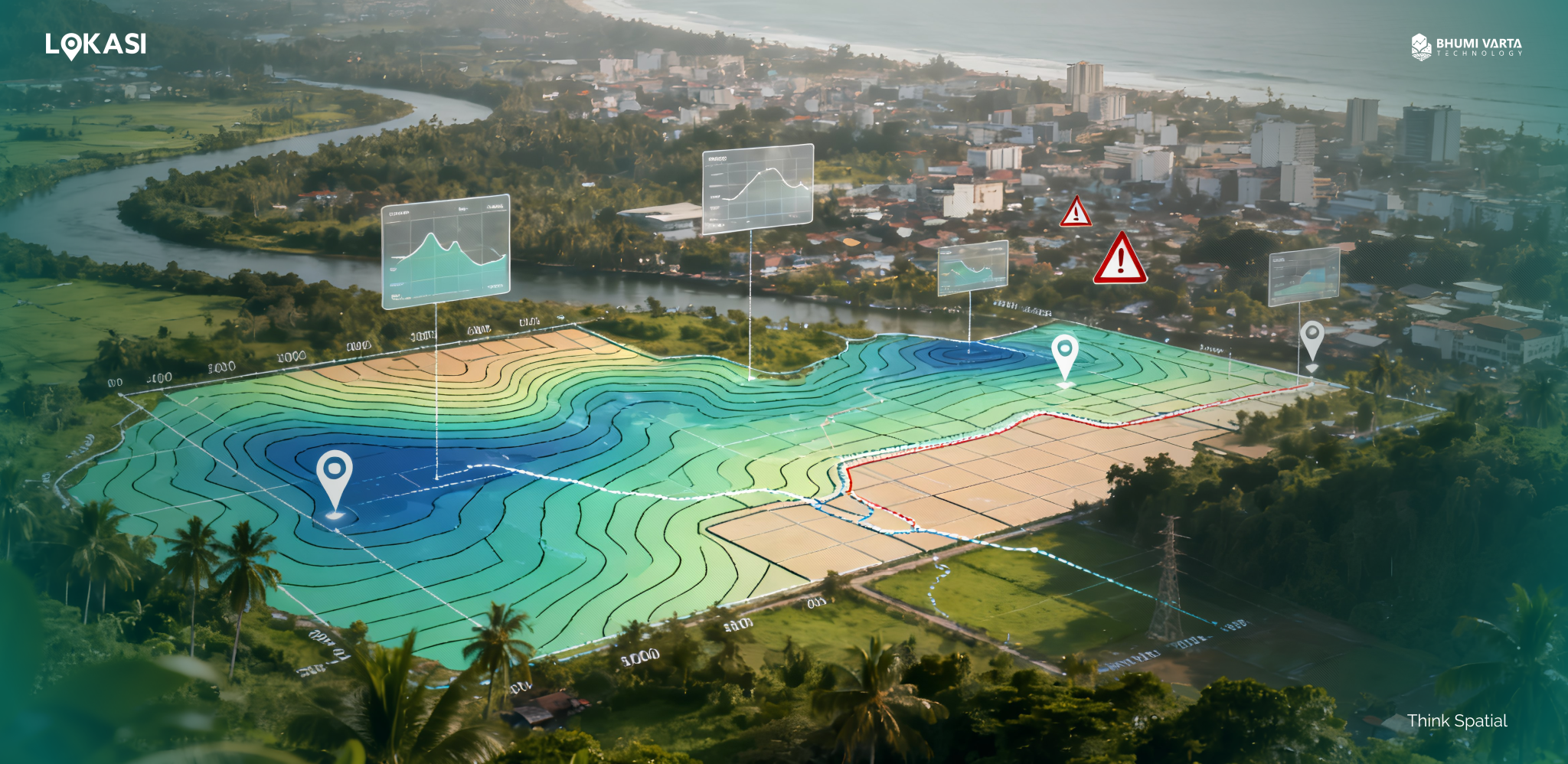
In disaster management, geospatial technology plays a vital role, especially through tools such as remote sensing, GIS (Geographic Information System), and Global Navigation Satellite System (GNSS).
These tools are essential because they allow governments, disaster management agencies, and other relevant parties to accurately map potential hazards, assess risks, and evaluate vulnerability levels in a given area.
Below is a detailed explanation of each geospatial tool and how these technologies can support more efficient and comprehensive disaster management.
Remote Sensing
First, there is remote sensing technology. Remote sensing is the process of detecting and monitoring the physical characteristics of an area from a distance. This is done by measuring reflections and radiation emitted or reflected by the Earth’s surface, typically using satellites or aircraft.
The technology uses both active and passive sensors to capture electromagnetic radiation from the Earth. For example, photogrammetry is a passive sensor that relies on natural light, while LiDAR and radar are active sensors that emit their own signals to measure distance and map surfaces.
Remote sensing plays a vital role in disaster risk mapping, allowing authorities to identify areas at high risk of floods, landslides, and other natural disasters. It can also monitor changes in the atmosphere, soil moisture, and other environmental conditions, providing early warnings before a disaster occurs.
In addition, remote sensing enables near-real-time monitoring of disaster events, supplying crucial information to coordinate aid distribution, plan evacuations, and support other emergency response decisions.
Geographic Information Systems (GIS)
Another important geospatial tool for disaster mitigation in Indonesia is GIS (Geographic Information System), a technology that enables the collection, storage, analysis, and visualization of location-based data. This makes GIS an essential tool for governments and authorities in managing disaster risk.
In disaster mitigation, GIS allows for the analysis of regional vulnerability to various types of disasters, including floods, landslides, and earthquakes. The technology supports the creation of well-structured disaster management plans by integrating data from multiple sources, analyzing risk patterns, and presenting information visually for easier understanding and decision-making.
GIS also assists in designing the safest and most efficient evacuation routes, identifying suitable locations for temporary shelters, and planning the distribution of resources such as logistical supplies and rescue personnel.
The final geospatial application for disaster mapping and risk analysis is the Global Navigation Satellite System (GNSS). GNSS is a network of satellites, ground stations, and receivers that work together to provide global positioning, navigation, and timing services.
With this system, any compatible device can determine its precise location anywhere on Earth. GNSS operates by measuring the distance between the receiver and multiple orbiting satellites, enabling real-time calculation of the device’s exact position.
This technology is highly valuable in disaster management, as it allows governments and authorities to map affected areas, monitor infrastructure conditions, and locate victims in need of assistance. Additionally, GNSS provides real-time navigation for emergency vehicles, helping rescue teams reach impacted areas even when roads are damaged or access is blocked.
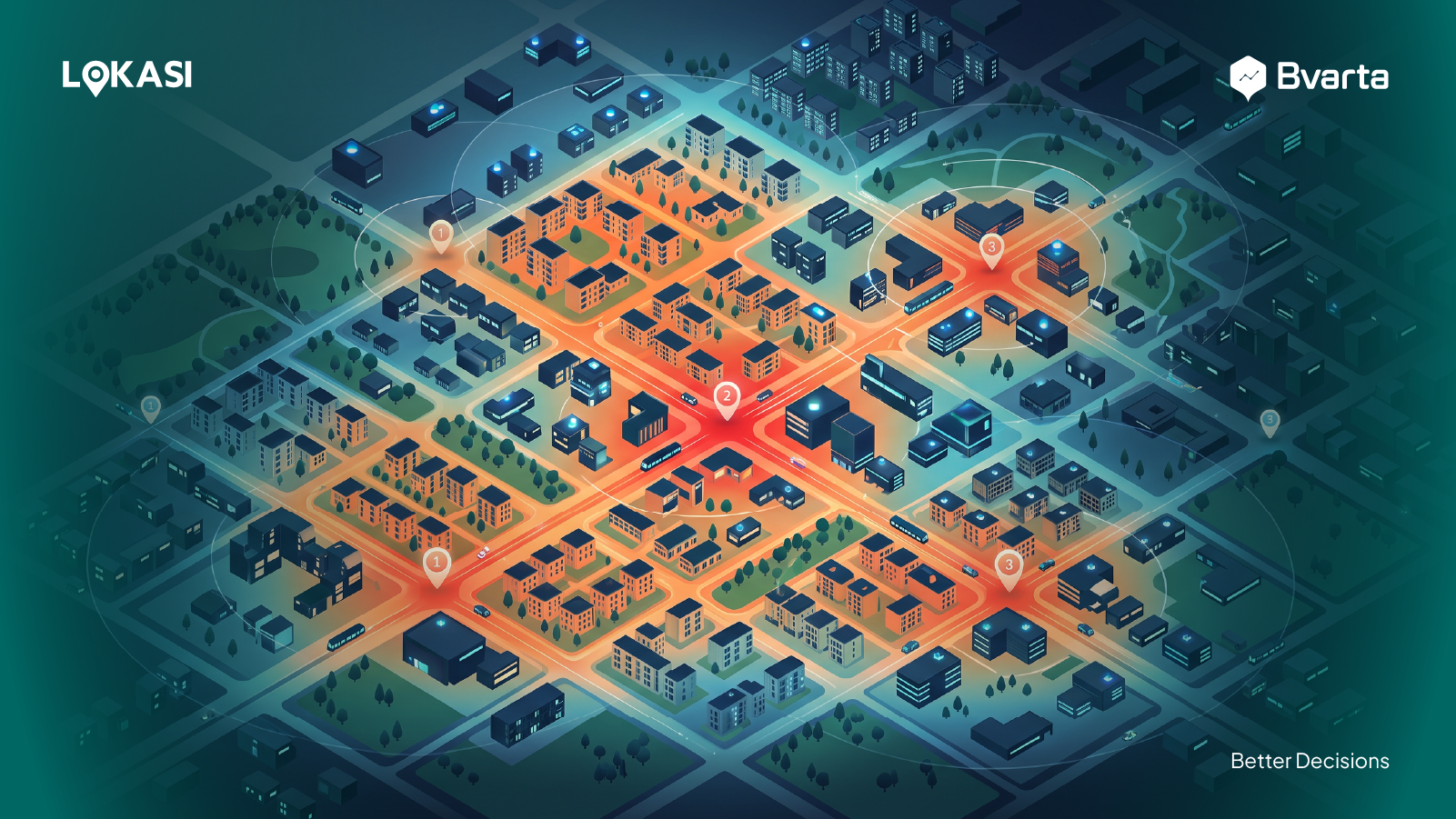
Risk Mapping Made Simple with LOKASI
LOKASI is a geospatial analytics platform integrated with location intelligence that provides comprehensive location data.
The platform helps governments, disaster management agencies, and other authorities map disaster-affected areas, identify risk-prone zones, and plan mitigation strategies more effectively. It also supports the identification of strategic locations for temporary shelters and the design of safe evacuation routes.
With integrated data and clear, easy-to-understand visualizations, LOKASI enables faster and more accurate decision-making, enhancing the effectiveness of emergency responses and improving the safety of affected communities.
To learn more about how LOKASI can help your organization, contact us at email: [email protected] or WhatsApp: 0877 7907 7750.
FAQ
What is the role of geospatial technology in disaster monitoring and management?
Geospatial technology helps governments and relevant authorities identify disaster-prone areas, map the extent of damage, and plan faster, more targeted response measures during disasters.
What tools are used to predict natural disasters?
Tools used to predict natural disasters include geospatial technologies such as remote sensing, Geographic Information Systems (GIS), and Global Navigation Satellite Systems (GNSS). These technologies can monitor environmental changes in real time, analyze soil and moisture conditions, and provide early warnings to help anticipate disasters before they occur.
How is GIS used in disaster management?
GIS is used in disaster management to analyze regional vulnerability to various types of disasters, including floods, landslides, and earthquakes. It also supports the creation of structured disaster management plans by integrating data from multiple sources, analyzing risk patterns, and presenting information visually for easier understanding and decision-making.