
Contents
- 1 Three questions every charging site must answer
- 2 The data layers behind a good answer
- 3 From layers to a ranking: the gap score
- 4 What this looks like in West Jakarta
- 5 What changes when decisions are data-led
- 6 See it for yourself: download the free report
- 7 Ready to explore more? Unlock the complete dataset
- 8 The takeaway
Three questions every charging site must answer
Before a single charger is ordered, a site needs convincing answers to three questions:- Is there demand? Do enough people come here, and do they stay long enough to charge?
- Is there a gap? Is the area still underserved, or are chargers already waiting for the same drivers?
- Is it practical? Can drivers reach the site easily, and does the surrounding land make sense for a charging stop?
The data layers behind a good answer
Location intelligence combines geospatial and mobility data so that each layer answers part of those three questions.| Data layer | What it shows | Why it matters for charging |
|---|---|---|
| Existing SPKLU distribution | Where charging supply already exists | Reveals crowded zones and blank spots |
| Points of Interest (POI) | Malls, offices, hospitals, hotels, landmarks | Destinations give drivers a reason to stop |
| Visitor density and mobility activity | How many people actually come through an area | Separates genuinely busy places from merely well-known ones |
| Dwell time | How long visitors stay | A charging session takes time, so longer stays fit better |
| Road accessibility and land use | How easy the site is to reach and what the land is used for | A strong area still fails if drivers struggle to get in |
From layers to a ranking: the gap score
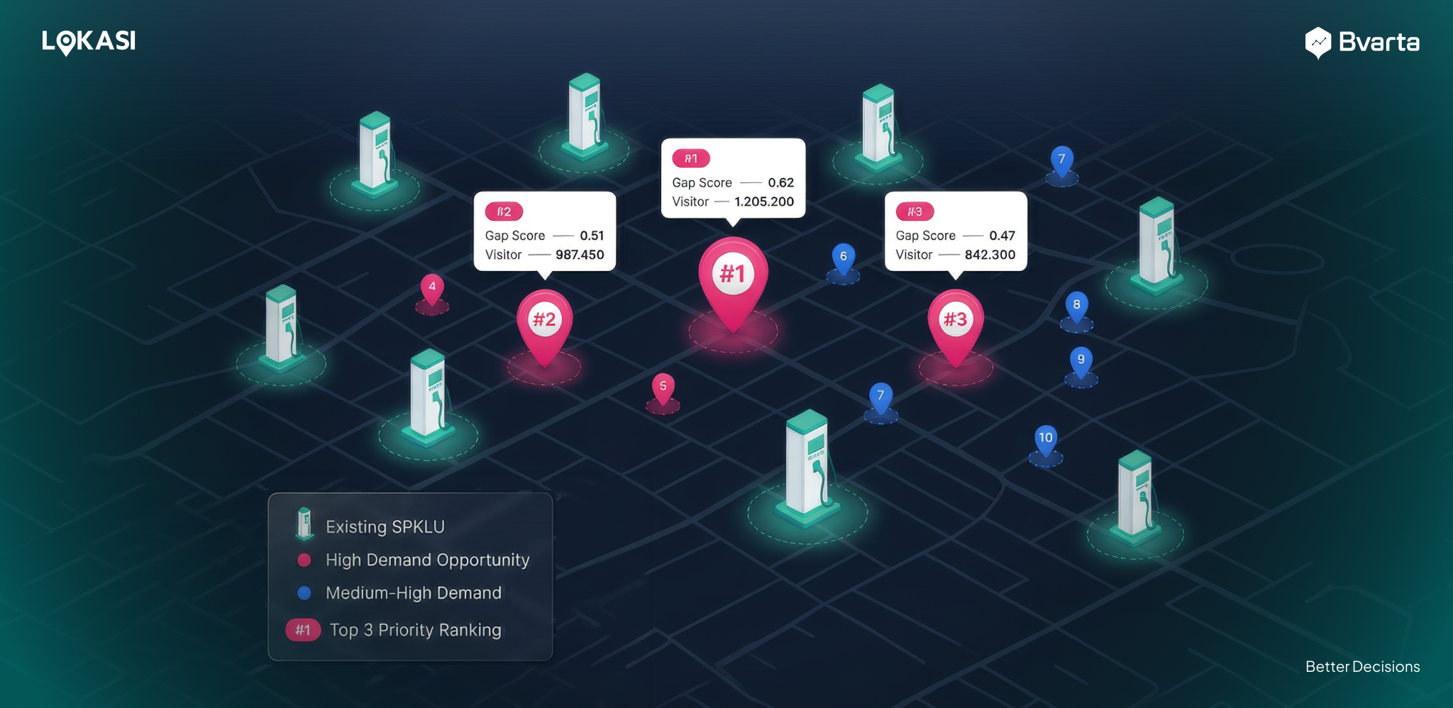
A stack of maps is not yet a decision. Bvarta turns the layers into a proprietary Gap Score, which combines visitor activity, dwell time, and the number of SPKLU stations already operating nearby. The higher the score, the bigger the opportunity. The result is a ranked list instead of a guess: the places where many people spend real time and few chargers exist float to the top.What this looks like in West Jakarta
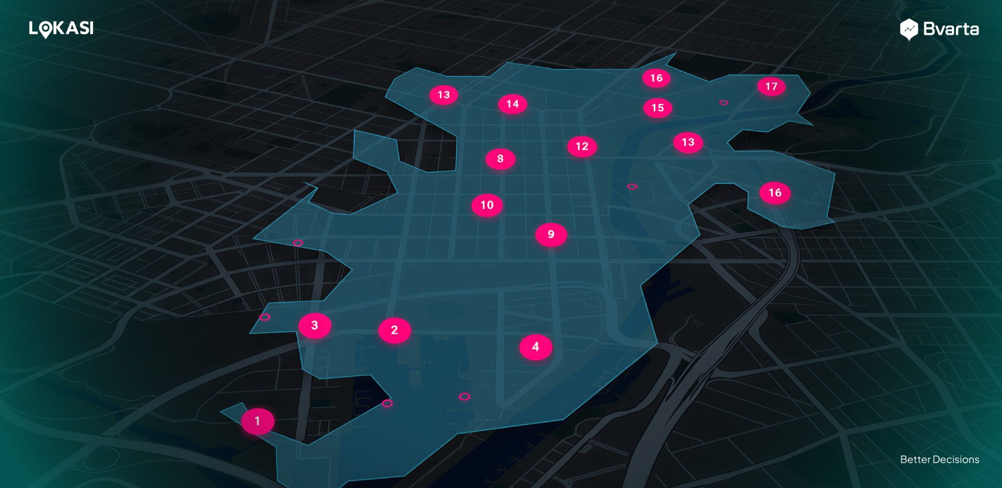
Bvarta applied this approach to West Jakarta in the West Jakarta EV Charging Location Intelligence Report, using data from June 13th to 16th, 2026. The analysis benchmarks 734 existing EV charging station locations, then evaluates candidate areas within a 523-meter catchment (drawn as a radius of roughly 523 meters on the map). It maps 96 existing SPKLU stations in West Jakarta and surfaces 11 high-opportunity clusters. Two of those areas show how different an opportunity can look:- Krukut, Priority #1. A Gap Score of 0.72 and more than 1.2 million visitors make it the top-ranked area in the analysis.
- Jelambar. 2,881 POIs, over 261,000 unique visitors, a 75-minute average dwell time, and no SPKLU inside its catchment. Its Gap Score is 0.51, with Medium-High demand.
What changes when decisions are data-led
- Better starting points. Teams agree on where to build first, with a ranked list to point to.
- Fewer wasted sites. Areas that are already saturated, or that lack real foot traffic, are filtered out early.
- Stronger conversations with landlords and partners. Visitor and dwell data give both sides the same facts to negotiate with.
- Sensible sequencing. A rollout can start with the highest-scoring clusters and expand outward as results come in.
See it for yourself: download the free report
The quickest way to judge location intelligence is to see it applied to a real city. The West Jakarta report is free, and shows which areas have the potential to host a new EV charging station, with a map preview, catchment areas, and ranked opportunity zones. Download the free EV Report here: https://bvarta.com/evreport/Ready to explore more? Unlock the complete dataset
The free report is a teaser sample. The complete Bvarta dataset adds:- Wider coverage: Greater Jakarta (Jabodetabek) and major Indonesian metropolitan areas.
- EV traffic volume and corridor tracking: real-time and historical EV mobility patterns.
- Station specifications: AC/DC connectors and power output (kW) of existing stations.
- Sales projection: revenue projection for each area.
- POI and location breakdown: retail, commercial, residential, and hospitality drivers.
- Location type classification: Commercial Hub, Transit Station, Residential Cluster, and Highway Rest Stop.