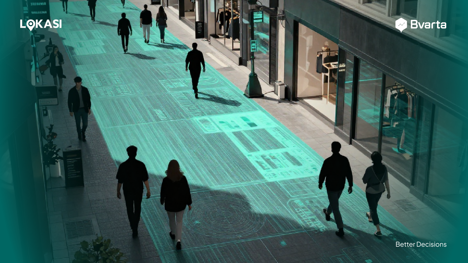
Spatial Data and Geographic Information System (GIS) for Business Needs – Location is a crucial thing for data analysis. The display of data on the map allows businesses to understand the position and location of objects.
With spatial data analysis, industries are able to determine the location of an object they want to know, which allows them to make informed business decisions.
Contents
Spatial Data and GIS in a Nutshell
GIS stands for Geographic Information System. The system is integrated with hardware, software, data, people who capture the image, manipulate, analyze, and present all of the geographic data.
The results of geographic data can be commercial in the form of a map, report, or both of them. Spatial analysis is a pivotal part of GIS. It can be performed in two ways.
The first way is using vector-based, while the second is raster-based. Data spatial itself is data with spatial components. It means the data that is connected to a place on the earth.
Creating a map is not the same as developing GIS that has a high cost. GIS is the spatial analysis that provides attribute data features, maps, and operational procedures.
This ability makes GIS stronger and more affordable rather than automatic cartography. GIS provides effective equipment to generate maps and statistical reports.
However, GIS has many functions that are not only for mapping and formulating reports. The main function of GIS is its spatial analysis. Here are some of the reasons why people use GIS,
- Most human activities relate directly or indirectly to location.
- There is an assumption that more than 80% of activities are related to location.
- The statistic is related to a territory which means it is also related to a specific location.
- GIS can add the value of a traditional statistic table.
The Type of Spatial Analysis
The spatial data analysis uses a technique that utilizes geographic characteristics, geometry, and topology to discover details about objects and entities. It presents data such as a set of data that give an insight about industries condition, trends, and prediction visually.
In addition, there is a layer that is able to detect challenges that companies are unaware of. Every business has unique challenges.
It can be detected using advanced spatial data analysis depending on the purpose, problems, and existing data. Here are the types of spatial analysis.
Suitability analysis
We can say that this technique is most commonly used in GIS. By using this approach the workflow becomes universal in any application. First, the analyst will identify the important criteria and then implement them on the existing data.
This type of analysis is used in geographic, regional planning, dealing with manufacturing problems, public security, and the problem of a growing economy.
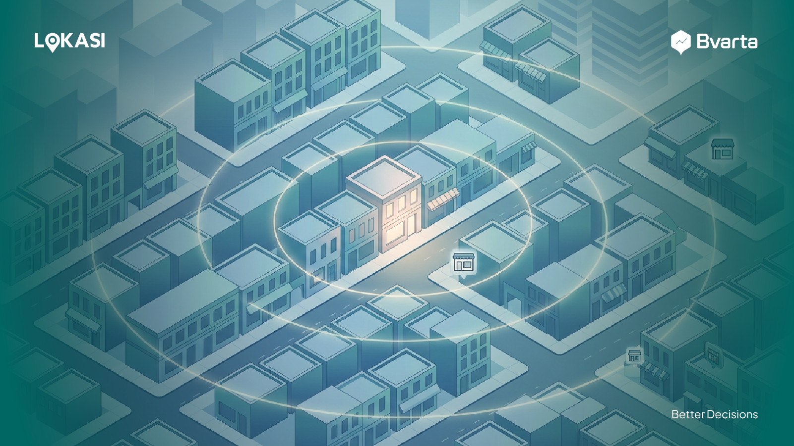
Spatial clustering analysis
The technique is related to the detection of disease outbreaks or the vital natural resources that have been polluted. The government and NGOs are mostly adopting this technique for the purpose of humanity, like the distribution of aid.
Meanwhile, in a business, spatial clustering analysis can be used to discover market opportunities. Industries that focus on retail, insurance, banking, real estate, telecommunication, transportation, and so on can implement this technique for their business needs.
Exploration analysis
This approach is suitable for data management that wants to know information about data patterns and distribution. The technique can be applied independently or as an initial step for different analyses.
Some of the sectors often use this technique are health, retail, common jobs, natural resources, and more.
Cost distance analysis
This approach is crucial for those who want to calculate travel routes and information related to it. The analysis allows visitors to obtain information about the most affordable way to go from A point to B destination.
In addition, this approach assists the business to find routes networks that can connect in a certain geographical pinpoint.
Spatial-temporal analysis
This analysis combines space and time. It is adopted to follow the changes that occur in a particular area for periods of time. This type of analysis is popular among industries.
Epidemiology, disaster management, environmental science, and transportation are sectors that have benefited from this approach.
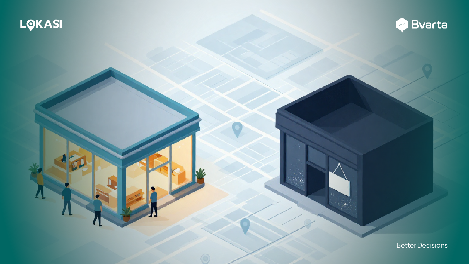
Data spatial and its analysis can be utilized for many purposes including business needs. Those techniques can be customized with their purposes and their type of business.
The Implementation of Spatial Data and GIS in business
GIS can be implemented in various industries. It assists in decision-making for business interests since GIS is capable of analyzing environmental data, demographics, and topography. Here are some of the implementations of GIS in business.
Mapping
GIS can be used to provide visual interpretation. Google Maps, for instance, is a GIS mapping web-based. People use Gmaps for their daily navigation needs. Smart mapping can also be used in products such as Nobel’s GeoViewer.
Telecommunication and network provider
The organization can collect data into a complex design network, optimization, planning, and arranging activities. These data improve the communication process through connection management with customers and location services.
Transportation planning
GIS data is often used to manage transportation problems. Companies are able to plan new roads or new railroads by analyzing this spatial data.
Agricultural
GIS can also be used to create an efficient agricultural technique that allows in analyzing land data with advanced visualization. This system also assists in increasing food-producing in various areas in the world.
In agriculture, GIS can be utilized for irrigation management. On the other hand, it can identify the time of harvest and ensure agricultural land.
Web-based mapping uses GIS that is provided for the public. The map has other information that is needed by the public for travel. Web-based mapping updates their information regularly and can be used for daily activities.
Banking
Banking has developed as market-driven. So, a bank’s success depends on how well it serves its customers. GIS data has a crucial role in planning, organizing, and decision-making in the banking industry.
Planning and developing people
GIS data assists us in understanding and facing global challenges. In line with today’s advancement of technology, there are many innovative apps in the planning area.
GIS equipment can be used to integrate geographic intelligence into the planning process which has the potential to alter how people think and behave.
Milk industry
GIS is capable of assisting the milk industry in distribution, production, and identifying the location of a store. It can be used for planning dairy cattle management and better decision-making as well.
Data spatial is an important part of GIS. Spatial technology has been widely used in business and it can be utilized depending on the type of business. The type of GIS technology can be consulted with a GIS consultant or GIS provider.
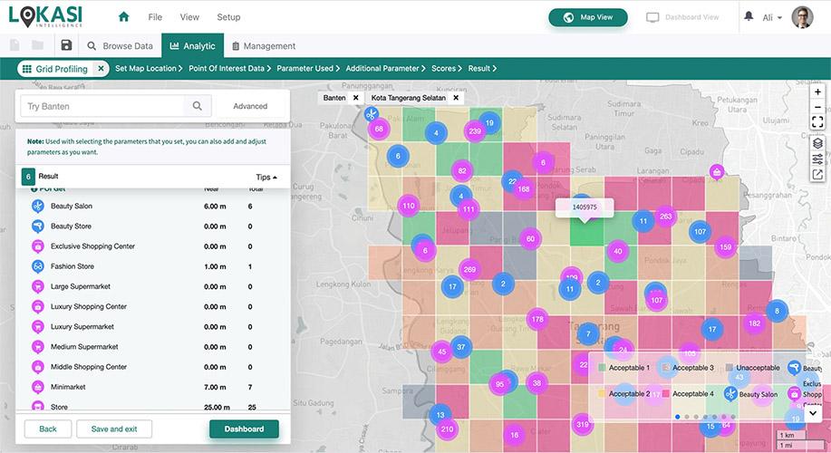
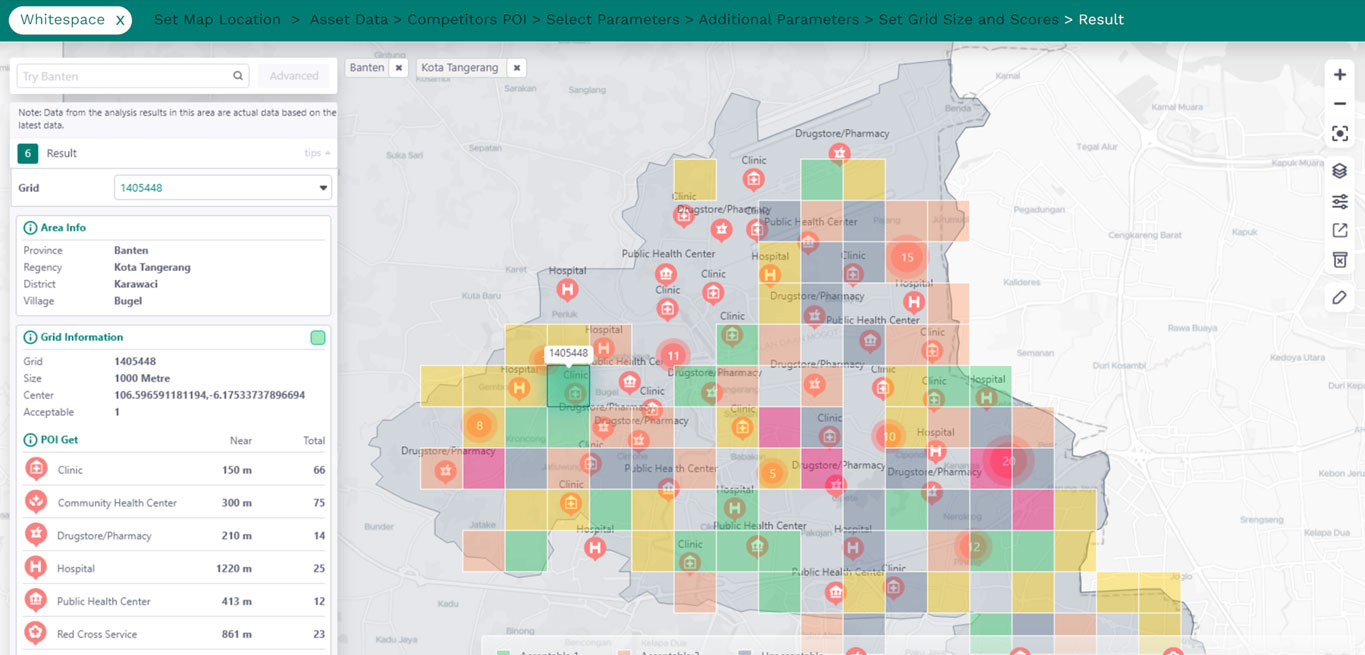
Determine Business Strategy with LOKASI Intelligence
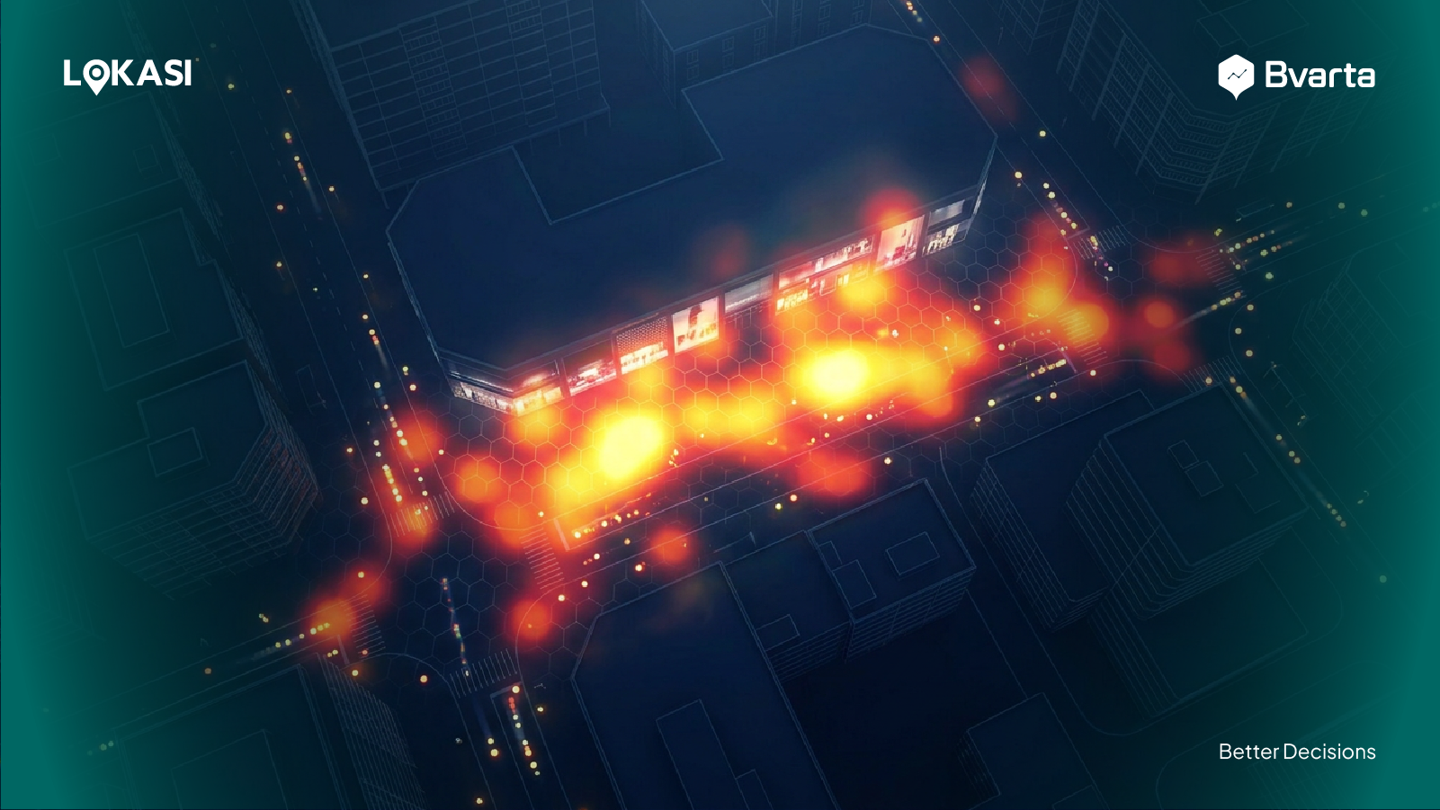
Spatial data analysis can be employed by companies to discover market trends, the situation in a certain area, a change of situation and the location of a customer.
As a result of this customer data, companies will be able to improve their services since a good customer service will boost revenue.
For businesses to be able to do that, they must have access to all customer data, not just the customer’s location. This can be accomplished through digital customer intelligence.
LOKASI Intelligence provides your business with insight into customers through its analysis features and telco data. Some of them are people interest, people origin, people movement, customer preference, lifestyle, occupation, device brand, and more.
By combining their own customer data with telco data, businesses will be able to achieve a more complete picture. Based on the results, companies can design campaigns, promotions, and customer service that is effective and better.
Find out more about how we assist businesses to grow their business spatially by contacting [email protected] or WhatsApp at 087777977731.