Contents
What is Geocoding?
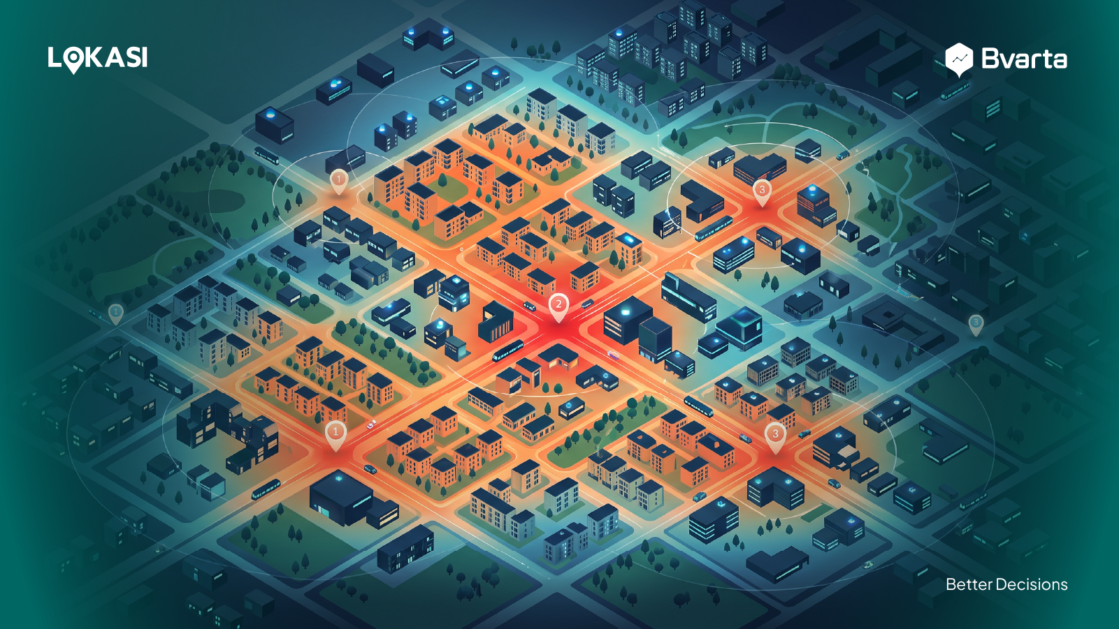
Geocoding is a key part of mapping technology that turns location descriptions, like full addresses or place names, into geographic coordinates — latitude and longitude. Take PT. Bhumi Varta Technology’s address, for example: Foresta Business Loft 3, Jl. BSD Boulevard Utara No.19, Lengkong Kulon, Pagedangan, Tangerang Regency, Banten 15331. Geocoding converts this address into coordinates: latitude -6.285291278522251 and longitude -106.64168146078944. With these coordinates, the location can be used for all sorts of location-based analysis, like planning routes or making strategic decisions. There are two main ways to do geocoding: manually and automatically.- Manual method: A person enters the location data, like addresses, into the system. It requires a lot of attention to detail to make sure the data is accurate, especially if the address is complicated or hard to pinpoint.
- Automatic method: This method uses software to quickly and efficiently process lots of location data.