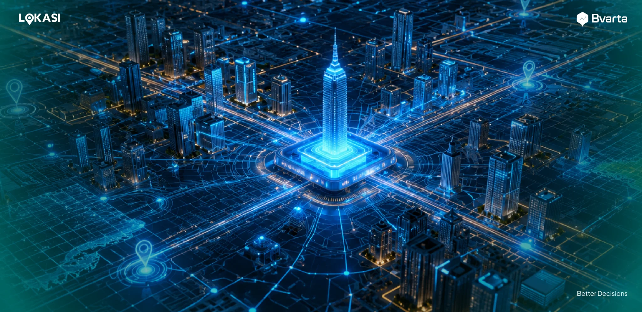
These days, almost every industry is powered by Artificial Intelligence, including the geospatial world. That is where GeoAI, or Geospatial Artificial Intelligence, comes in. Since GIS data processing can be pretty complex and time-consuming, GeoAI helps speed things up.
With GeoAI, spatial analysis can be automated and large-scale data can be processed much faster. The result is a more efficient workflow and higher productivity overall.
In this article, we will walk through GeoAI in a simple and practical way, starting from what it is and how it works, to why it is becoming more relevant across industries, and some real examples of how it is being used.
Contents
What Is GeoAI?
GeoAI (Geospatial Artificial Intelligence) refers to the use of artificial intelligence to process, analyze, and interpret geospatial data.
By combining AI technology with Geographic Information Systems (GIS), GeoAI can handle large-scale datasets and transform them into actionable insights that support more strategic, data-driven business decisions.
GeoAI leverages machine learning to analyze and identify patterns and relationships within geospatial data. This technology can detect distribution trends, movement patterns, and correlations between location-based variables.
Based on these insights, GeoAI can perform predictive modeling to estimate an area’s growth potential, forecast market demand, or anticipate risks in specific regions.
Furthermore, GeoAI can classify and cluster areas based on particular characteristics, such as demographics, economic activity, and population density.
In addition to machine learning, GeoAI is supported by various advanced technologies, including deep learning, computer vision, natural language processing, remote sensing, big data and cloud computing, the Internet of Things, and foundation models.
What’s the Use of GeoAI?
GeoAI recognizes that knowing where something happens is just as important as knowing what happens. In many cases, location is a key factor that influences patterns, risks, opportunities, and even market behavior.
Through a spatial-based approach, GeoAI interprets data within its geographic context. It understands how distance, density, accessibility, environmental conditions, and regional characteristics can assign different meanings and value to information.
Two seemingly similar events can have very different impacts when they occur in different locations. GeoAI enables more relevant, accurate, and context-aware analysis.
GeoAI also offers various additional benefits, including:
Improving Data Quality and Consistency
One of the main benefits of GeoAI is its ability to simplify and streamline workflows that were previously handled manually. Processes such as collecting, cleaning, and analyzing geospatial data can be automated, making tasks faster and more efficient.
Through automation, large volumes of data can be processed quickly with minimal user intervention. This not only reduces the risk of human error but also accelerates workflows and helps lower operational costs.
Improved Accuracy
GeoAI not only processes large volumes of data but also analyzes geospatial information with a higher level of accuracy than conventional GIS systems.
While traditional systems typically rely on manual inputs and predefined parameters, GeoAI can identify patterns, spatial relationships, and anomalies that may be difficult to detect through manual analysis.
With the integration of artificial intelligence, GeoAI can handle complex datasets and interpret them within a deeper spatial context.
As a result, users gain sharper and more comprehensive insights. The analysis produced is more precise, supporting better-informed and data-driven decision-making.
Ability to Perform Predictive Analysis
Another key benefit of Geospatial Artificial Intelligence is its ability to conduct predictive analysis. GeoAI examines historical data to project potential future outcomes.
By leveraging historical geospatial data, the system can identify long-term trends and recurring patterns of change over time.
Based on these insights, GeoAI can forecast various scenarios, such as the impact of climate change on a region, population growth and density shifts, urban development trends, and traffic congestion patterns.
This predictive capability enables organizations to take a more proactive approach when developing strategies. For example, in a business context, location-based predictions can guide branch expansion decisions, optimize logistics distribution, and support more targeted marketing strategies.
What Are Some Examples of GeoAI Applications?
GeoAI can be applied across various sectors and industries to address challenges related to location and spatial data. Below are some examples of its real-world applications.
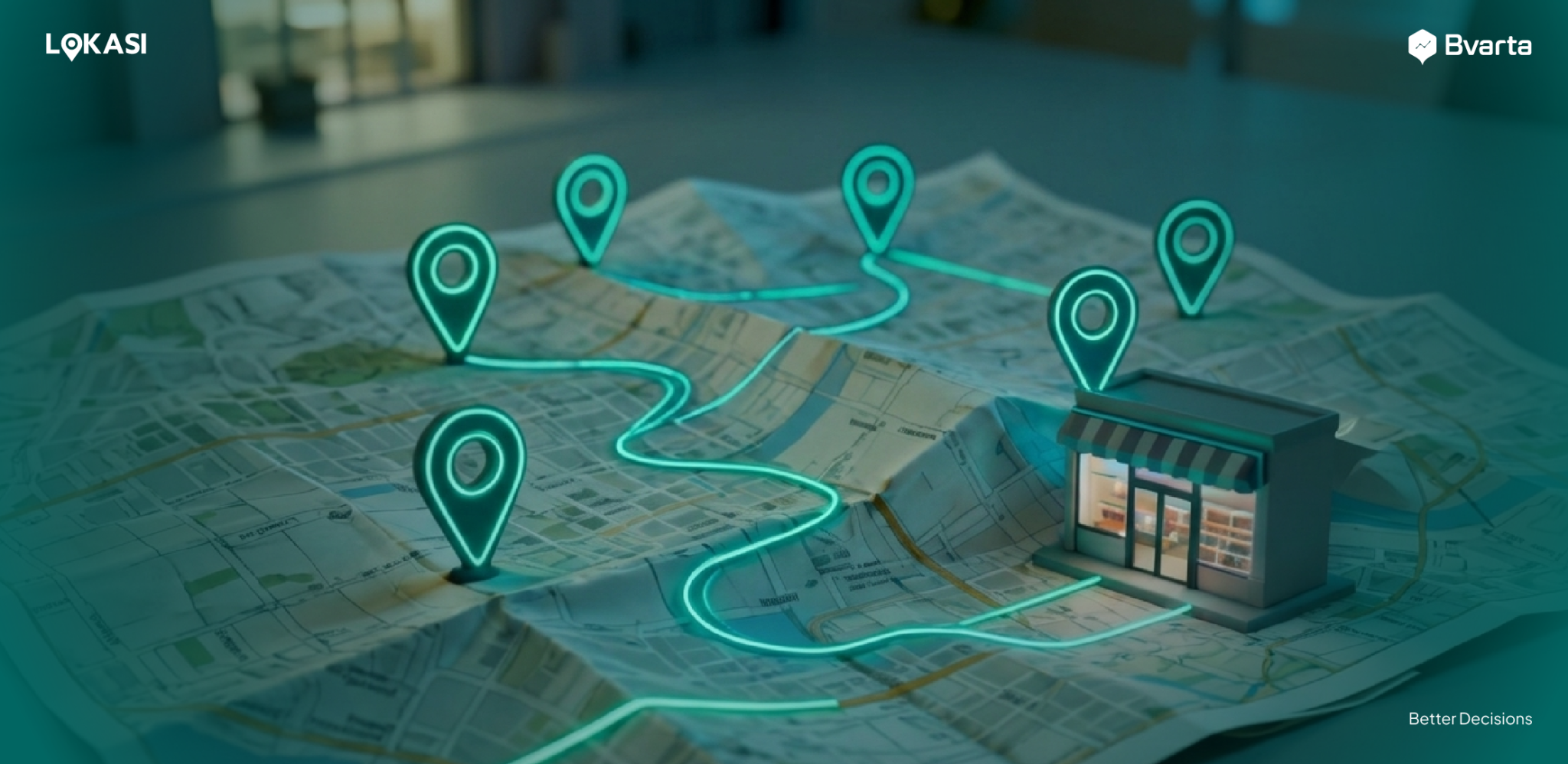
Logistics
Geospatial AI can be used by logistics companies to optimize routing processes and determine the most efficient delivery routes.
By analyzing geospatial data such as traffic conditions, travel distance, congestion patterns, and road characteristics, the system can automatically recommend the best routes.
Through this analysis, companies can reduce travel time, minimize fuel consumption, and lower operational costs. In addition, more optimized route planning helps reduce vehicle strain, which can decrease maintenance costs and extend the lifespan of the fleet.
Retail
In the retail sector, GeoAI can be used to better understand consumer behavior through location data and movement patterns.
The system analyzes frequently visited areas, visit times, and activity trends in specific locations to build a clearer picture of shopping habits. Based on these insights, retailers can create more personalized and contextual offers.
For example, they can send promotions when consumers are near a store, recommend products that are relevant to the local environment, or tailor campaigns based on the characteristics of the areas where consumers are most active.
This location-based approach makes marketing strategies more relevant and precise. By aligning offers with consumers’ needs and real-time situations, the likelihood of purchase or conversion increases.
Property
GeoAI plays a crucial role in the property industry by helping to analyze and model various environmental risks that may affect a project’s feasibility.
This technology processes geospatial data such as flood history, earthquake risk, land contours, land use changes, and the condition of surrounding infrastructure.
GeoAI can simulate potential future risks and visualize their impact on specific areas. This provides a clearer understanding of a region’s safety, sustainability, and development potential.
For investors and developers, these insights are essential when making investment decisions, whether for residential developments, shopping centers, office buildings, or other commercial projects.
Optimize Your Business with LOKASI
LOKASI is a geospatial analytics platform integrated with machine learning technology and powered by comprehensive spatial data.
It is designed to help businesses gain a deeper understanding of a region through location-based analytics that are easy to use and interpret.
With LOKASI, companies can optimize their operations in multiple ways. These include identifying high-potential areas for expansion based on market potential and competition, evaluating the performance of their entire store or branch network, and analyzing visitor movement patterns and area characteristics.
In addition, LOKASI helps identify environmental risks and other external factors that may affect business continuity in a specific location.
To learn more about how LOKASI can support your business, please contact us at: Email: [email protected] or WhatsApp: 0877 7907 7750
FAQ
What is GeoAI?
GeoAI is the use of artificial intelligence to process, analyze, and interpret geospatial data.
What does GeoAI stand for?
GeoAI stands for Geospatial Artificial Intelligence.
Is GeoAI free?
GeoAI providers typically offer a free initial consultation to understand a business’s needs and challenges. During this stage, they demonstrate how GeoAI solutions can be applied to address those issues.
After the consultation and solution customization process, a subscription fee is usually charged based on the services, features, and scope of analysis required.