Geospatial analysis is growing fast and it is no longer something used by just one industry. Today, all kinds of sectors such as government, property, logistics, and retail are tapping into geospatial insights to support their strategies.
In Southeast Asia, this trend is rising even faster because of rapid urbanization and the need to better prepare for natural disasters. With the right geospatial tools, businesses and organizations can improve efficiency and make smarter long term decisions.
The tricky part is choosing the right platform. So in this article, we are breaking down three geospatial analysis platforms that you can use in Southeast Asia.
Contents
Geospatial Analytics Trends in Southeast Asia
Geospatial analytics involves collecting, aggregating, examining, visualizing, and analyzing geographic data. The goal is to identify patterns, relationships, and trends that can support more accurate and strategic decision making.
In practice, geospatial analytics uses various tools and technologies such as Geographic Information Systems (GIS), satellite imagery, GPS, and other data sources to produce reliable and relevant insights.
In Southeast Asia, the use of geospatial analytics is expected to grow significantly, with a projected CAGR of up to 12.18 percent between 2025 and 2030.
This growth is driven by multiple factors. These include rapid urbanization, the increasing need for disaster mitigation, government agendas focused on smart city development, policies related to data sovereignty, and financing that supports Environmental, Social, and Governance (ESG) initiatives.
Meanwhile, from a geographic perspective, Indonesia is a major player in the geospatial analytics market in Southeast Asia, holding a market share of around 30 percent in 2024. This dominance shows that Indonesia has a relatively high level of geospatial technology adoption in both the public and private sectors. Vietnam, on the other hand, is projected to be one of the fastest growing markets in the region, with an estimated CAGR of up to 13.9 percent through 2030.
Factors to Consider When Choosing a Geospatial Analytics Platform
A geospatial analytics platform is a system or tool designed to visualize, manage, and analyze geospatial data. In Southeast Asia, there are many geospatial platforms and services available online.
However, the wide variety of options can make it difficult for companies or government agencies to determine which GIS platform best fits their needs. Below are several key factors to consider when choosing a geospatial analytics platform.
Determine Analysis Needs
The first factor to consider is the specific purpose of the geospatial analysis. Geospatial analysis can be used for many objectives, including city planning, selecting business locations for expansion, disaster mitigation, and managing resources and infrastructure.
Understanding your needs in detail is an important first step before choosing the right platform. By identifying the main objective of the analysis, businesses or agencies can determine which features and capabilities their geospatial platform must support.
For example, if the goal is business expansion, you should choose a geospatial solution that allows users to analyze population density, consumer movement patterns, and accessibility. The insights gained from this type of analysis will help businesses identify the most strategic and optimal locations for expansion.
Access to Local and Regional Data in Southeast Asia
It is also important to ensure that the geospatial analysis platform you choose provides relevant local and regional data. Not all platforms offer complete data coverage for every area; some may only support certain countries or specific cities. For example, one platform may only provide data for Vietnam, while another may only cover Indonesia or Thailand.
Before choosing a platform, make sure the available data includes the locations you want to analyze. This will ensure that the insights you generate are accurate, reliable, and aligned with your operational needs.
Analysis Features
The final factor to consider is the set of analysis features offered by the platform. Once a business or agency understands the goals and expected outcomes of the geospatial analysis, the next step is to make sure the platform provides the features needed to support those objectives.
These features can vary widely depending on the type of insight required. For example, if the goal is to identify strategic locations, tools such as site selection and heatmap visualization will help highlight high-potential areas. For operational or logistics planning, tracking and prediction features can provide valuable information about movement patterns and emerging trends.
Recommended Geospatial Analysis Platforms
Now that we have explored geospatial analysis trends in Southeast Asia and the key factors to consider when choosing a platform, we can look at several geospatial analysis platforms available in the region.
Google Maps Platform
Google Maps is not only a navigation tool used in everyday life, but also a powerful platform that offers a wide range of solutions for businesses, developers, agencies, and governments to perform in-depth geospatial analysis.
The platform features more than 250 million mapped locations and Street View imagery in over 110 countries, including many across Southeast Asia. It also offers advanced capabilities such as analytics tools, artificial intelligence, and environmental data.
With Google Maps, businesses can run various types of analysis, including identifying strategic locations for expansion, optimizing routes, performing environmental assessments, and managing infrastructure. The platform also supports interactive data visualization and asset tracking.
Google Earth Engine
Unlike Google Maps Platform, which is commonly used for navigation, logistics, and business insights, Google Earth Engine is designed for large scale geospatial analysis, especially in environmental and scientific research.
Google Earth Engine combines satellite imagery, geospatial data, and various advanced analysis tools to help users perform detailed evaluations and monitoring activities. With this platform, users can conduct environmental assessments, monitor agricultural conditions, analyze land use changes, evaluate vegetation health, and study other environmental patterns.
Because of its extensive data and analytical capabilities, Google Earth Engine is widely used by scientists, government institutions, and non profit organizations that need accurate and comprehensive geospatial information to support data driven decision making.
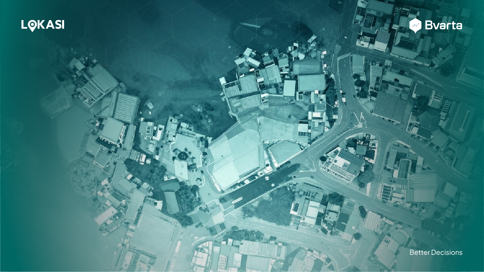
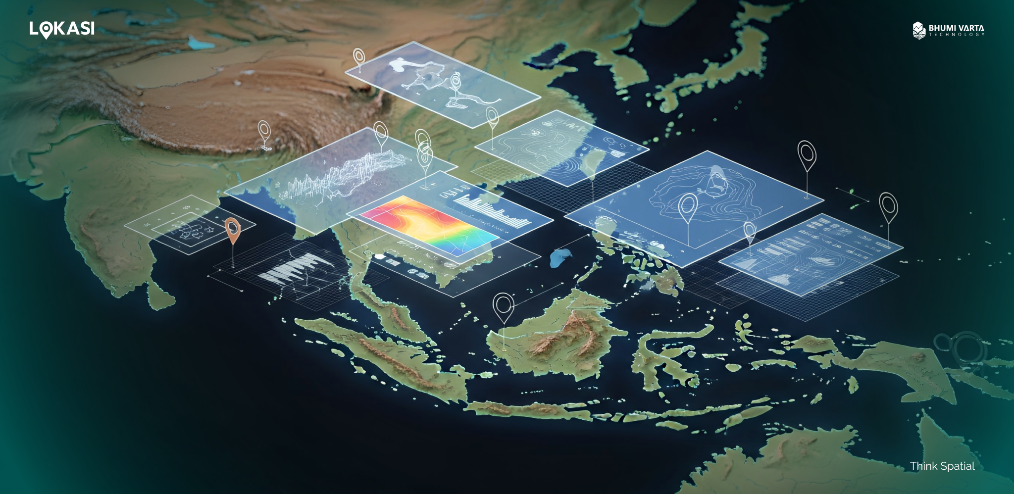
LOKASI
LOKASI is a geospatial analytics platform that integrates location intelligence with spatial data for Indonesia and Vietnam.
With LOKASI, users can perform a wide range of in depth analyses, including strategic site selection for expansion, store or outlet network optimization, merchant acquisition, fieldwork optimization, and sales territory planning.
LOKASI also supports market gap analysis to identify new opportunities, cannibalism analysis to evaluate the impact of new branches on existing outlets, data enrichment, data management, and the creation of new datasets that support business strategies. These capabilities can be tailored to the specific needs of each business.
To learn more about how LOKASI can support your operations, please contact us at: Email: [email protected] or WhatsApp: 0877 7907 7750
FAQ
What tools are commonly used to analyze geospatial data?
One commonly used tool for analyzing geospatial data is LOKASI. LOKASI is a geospatial analytics platform that integrates location intelligence with spatial data. It enables users to conduct various in depth analyses, including strategic site selection, store or outlet network optimization, merchant acquisition, fieldwork optimization, and sales territory planning.
What are examples of spatial analysis applications?
One example of a spatial analysis application is LOKASI. As a geospatial analytics platform with integrated location intelligence and spatial data, LOKASI allows businesses to perform various types of spatial analysis, such as site selection, data visualization, and other insights needed to support strategic decisions.
How many types of geospatial technologies are there?
Geospatial technologies include the Global Positioning System (GPS), Geographic Information Systems (GIS), geofencing, and remote sensing.