ESTAgeo
ESTAgeo combines geospatial intelligence with real telco behavioral data, so every site selection, expansion, and marketing decision is backed by evidence, not intuition.


Trusted by leading organizations across retail, real estate, FMCG, and financial services.




































































One platform. Every location decision.
ESTAgeo is a spatial intelligence platform that blends demographic data, telco behavioral signals, and point-of-interest data into one map, giving your team a single, data-driven view of area characteristics, consumer potential, and competitive landscape.
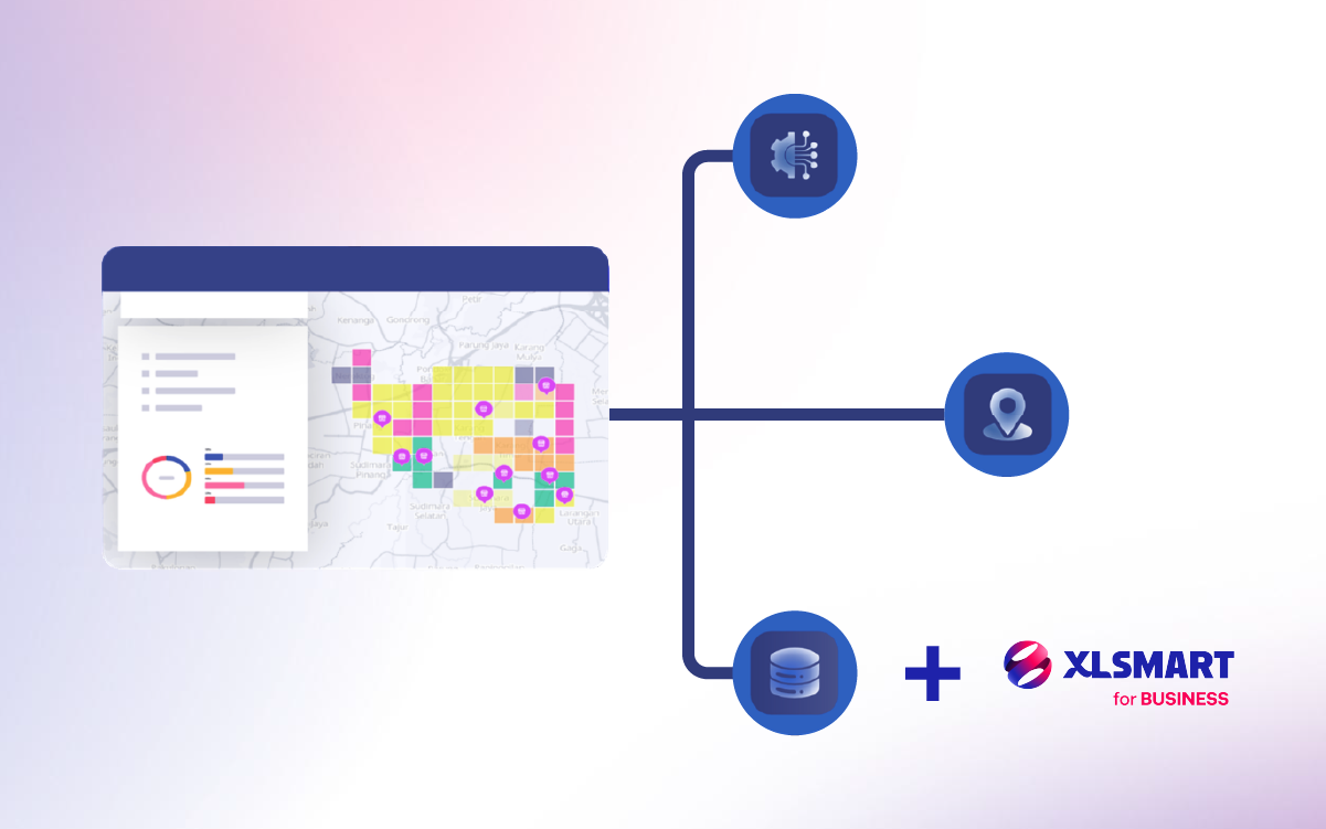
Built on Big Data, GIS, and AI, working together
Big data, an interactive GIS mapping engine, and grid-based AI models are Bvarta's three core pillars, and together they power the entire ESTAgeo workspace. XLSMART for BUSINESS real telco behavioral data plugs into that same foundation, adding a fresh, on-the-ground signal that a standalone GIS tool simply can't offer.
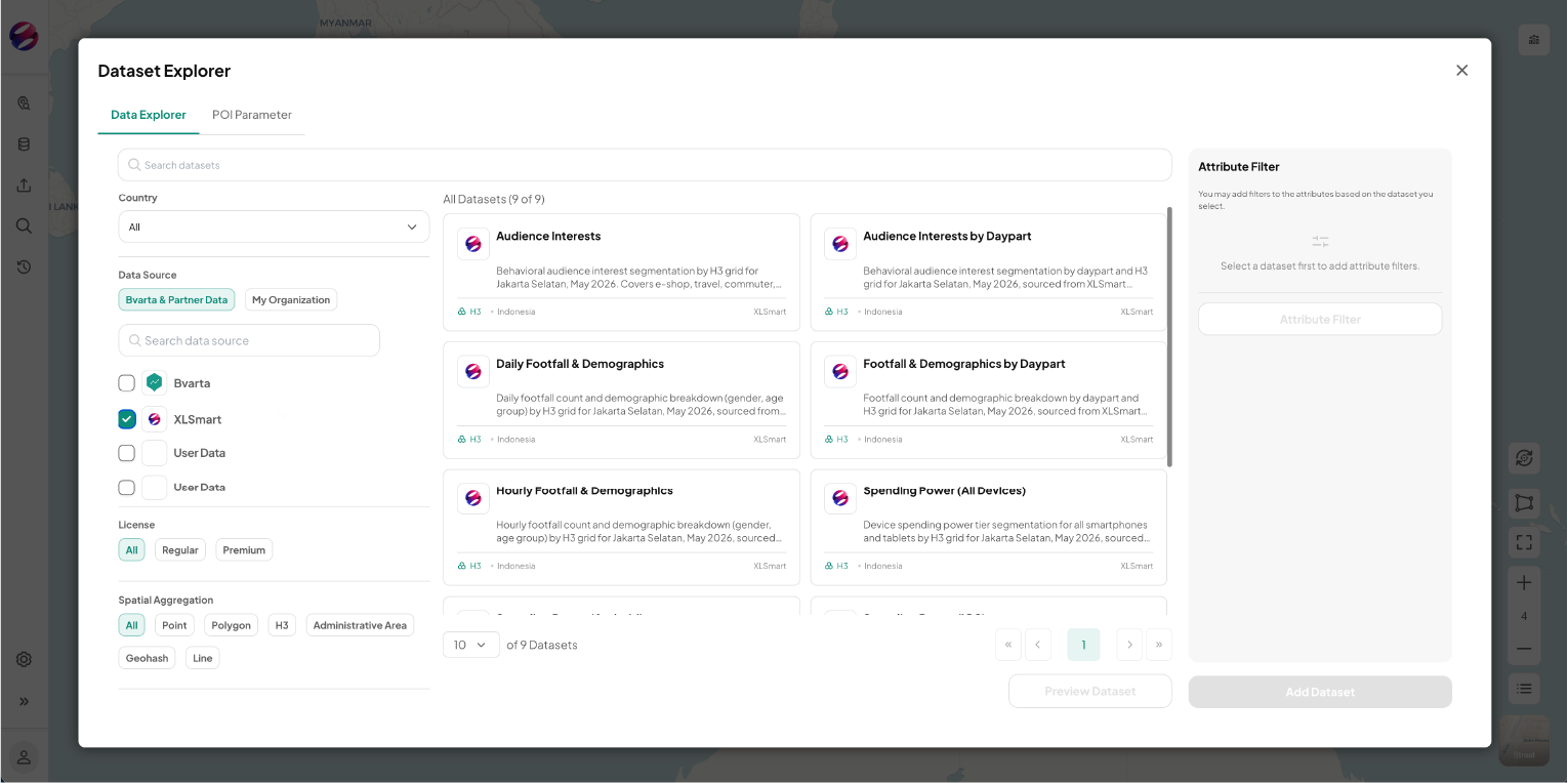
Browse hundreds of ready-to-use datasets
Explore demographics, socioeconomic profiles, people traffic, and POIs, alongside XLSMART for BUSINESS telco data, like age and gender breakdown, mobile device tier, and interest clusters such as Gamers, Travelers, and E-Shoppers, plus your own internal company data. Every source lives in one organized, searchable place, helping you gain deeper market and customer insight in a few clicks.
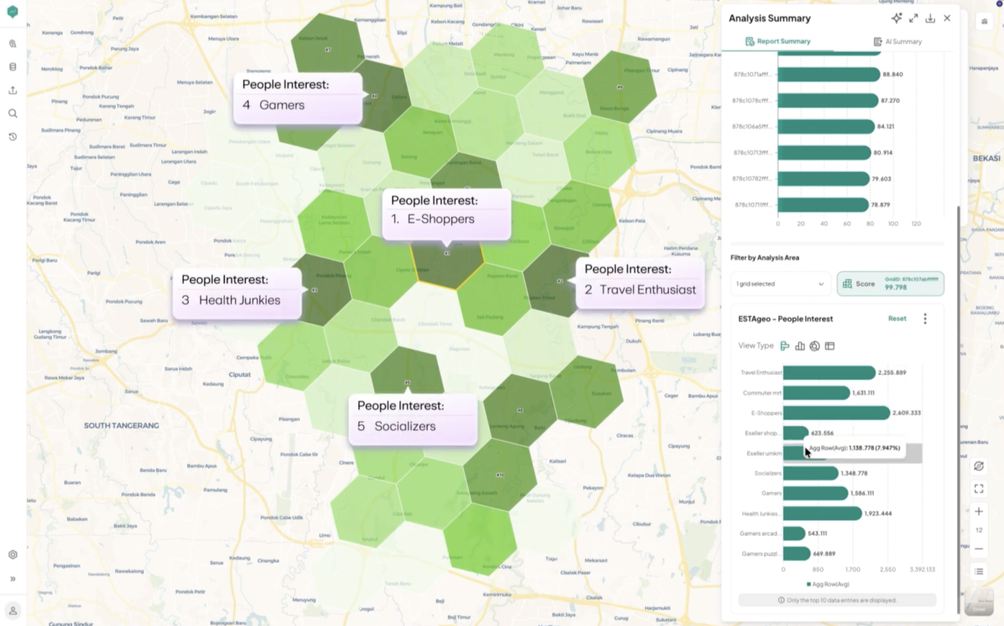
See every location factor, layered on one map
Combine all your datasets and enrich them with location data on a single interactive map. Generate a heatmap of high-potential areas using purchasing power, foot traffic, and telco-based demand signals, like people interest clusters and mobile device tier, down to a granular grid level, then read the results as tables, graphs, and an AI-generated summary.
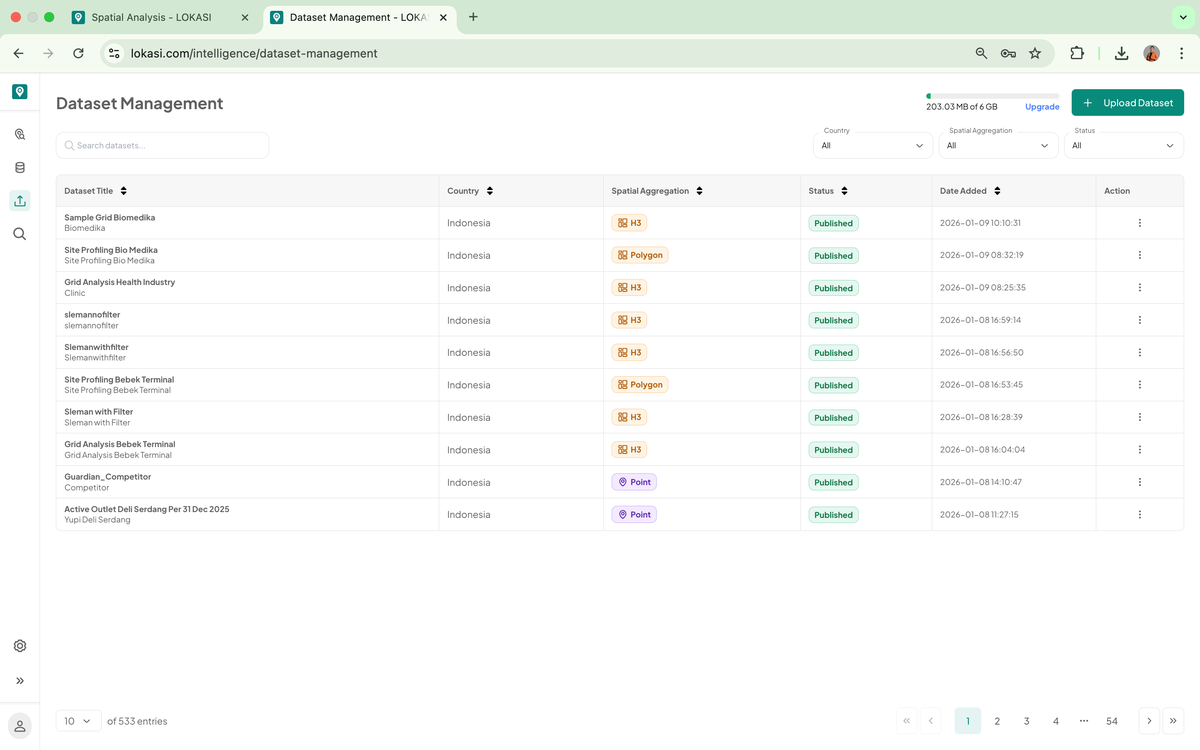
Bring your own data into the same workspace
Upload and integrate your own internal data, in CSV, XLSX, GeoJSON, or Shapefile format, alongside ESTAgeo's datasets. Save your areas, filters, and spatial settings as a reusable project so your team can reopen an analysis instead of rebuilding it.
Six ways ESTAgeo turns data into decisions
Every location decision your team makes, from opening a new outlet to optimizing an existing asset, has a matching ESTAgeo workflow.
Site Selection
Identify recommended vs. avoided areas and validate a location with demographic, SES, and POI analysis before you commit.
Market Analysis
Segment customers, analyze competitors, estimate market size, and profile audiences by interest and traffic pattern.
Expansion Analysis
Run correlation and market gap analysis, project revenue, and surface cross-selling demand before you expand.
Sales Performance
Set and track targets, project sales, analyze product performance, and evaluate store cannibalism.
Asset Optimization
Get pricing and tenant recommendations, run property appraisals, and validate footfall density.
Data Enrichment
Acquire, clean, update, and integrate your data, enriched with telco signals, without extra manual work.
Built on data you cannot get anywhere else
ESTAgeo pairs Bvarta's spatial data with XLSMART for BUSINESS telco data, a combination no standalone GIS tool or generic analytics platform can offer.
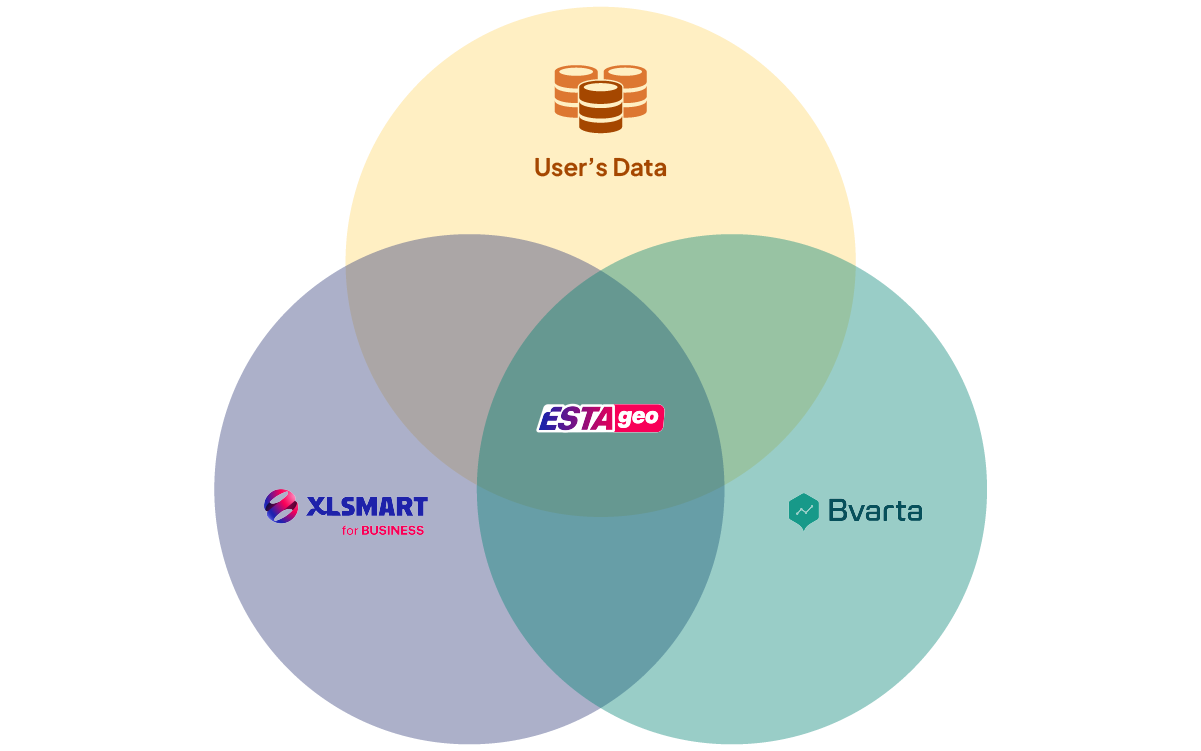
ESTAgeo exists at the point where three different data worlds meet: Bvarta's geospatial and socioeconomic datasets, XLSMART for BUSINESS real telco behavioral data, and your own internal company data. None of them tells the complete story on its own, together, they give your team one unified, evidence-based view of any location, ready to act on.
Why teams choose ESTAgeo
Flexible & Customizable
Define the parameters that fit your business goals. ESTAgeo adapts to your use case, not the other way around.
Always-Updated Datasets
Demography, SES, telco, and POI data are kept current, so decisions reflect today's conditions.
Unlimited Access
Run as many analyses as you need, with no per-query limits standing between you and an answer.
Training & Support
Two in-person training sessions per year (JABODETABEK area), plus a dedicated helpdesk.
Secure & Reliable
Every engagement is protected under NDA and built on ISO 27001-certified data security standards.
Actionable Insights
Clear, data-driven understanding of area characteristics and market potential, ready for decision-makers.
Some food for thought


08 Sep 2026
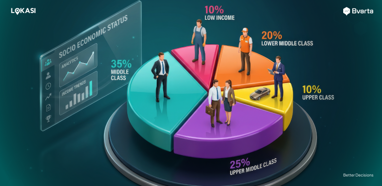
The Role of SES Data in Retail Site Selection
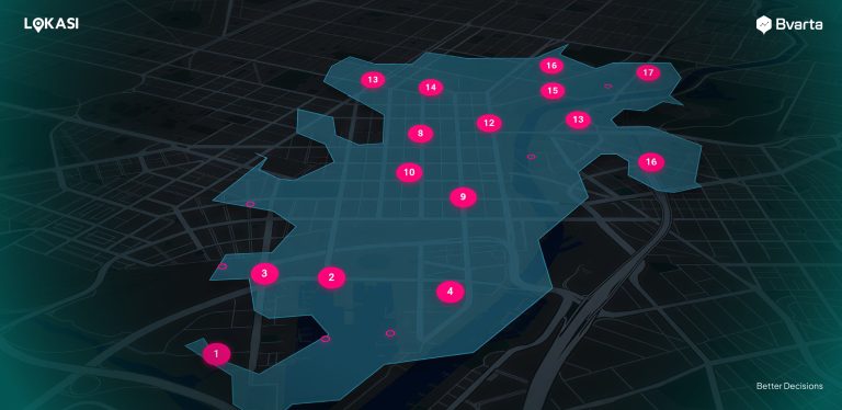
See exactly where your business should go next
Book a demo and we will show you how ESTAgeo turns your data into a clear location decision, using your own industry as the example.
- A walkthrough tailored to your industry
- Pricing scoped to your business footprint
- No obligation, just a clear look at the data
Or reach us directly at +6287779077750